ExileBooks
1868 Atlas of the State of Ohio
1868 Atlas of the State of Ohio
Couldn't load pickup availability
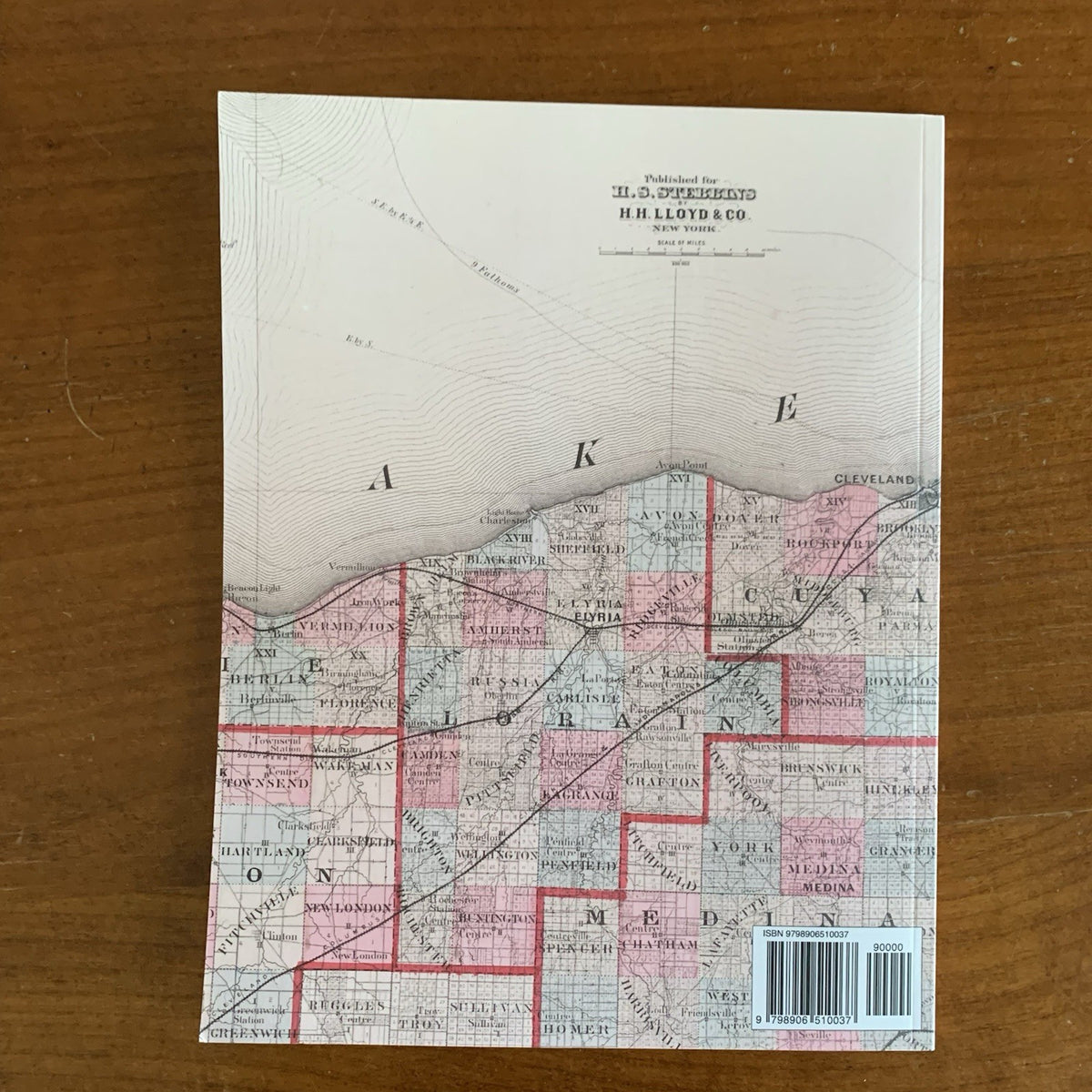
First published in 1868 for Henry S. Stebbins by H. H. Lloyd & Co. of New York, this is the first edition of H. F. Walling's landmark state atlas of Ohio. This edition is a complete, unabridged facsimile of the original, reproduced in full color from the copy in the David Rumsey Map Collection, with the hand-colored maps as issued.
Sixteen large county-group sheets map all eighty-eight Ohio counties — from Cuyahoga, Hamilton, and Franklin to Lucas, Stark, Montgomery, and the counties of the old Connecticut Western Reserve, which receives its own map. Six detailed city plans cover Cincinnati, Cleveland, Columbus, Dayton, Toledo, and Springfield as they stood just after the Civil War. The volume also includes a railroad map of Ohio, Indiana, and Illinois; a climatological map of Ohio by Lorin Blodget; a geological map by J. S. Newberry of Columbia College; nineteen pages of historical and descriptive text on the state's topography, climate, and geology; an alphabetical index of maps; and a list of every post office in Ohio. As issued, the atlas closes with a ten-sheet Atlas of the United States, including striking large-format maps of the western states and territories — Nebraska, Kansas, Texas, the Pacific states, and the Northern Territories — as they were bounded in 1868.
An essential reference for genealogists, local historians, and collectors of Ohio and Western Americana history.
68 pages. 8.5" x 11". Full color. Paperback.
Satisfaction guaranteed or you can send it back!