ExileBooks
1869 Atlas of Hartford and Tolland Counties, Connecticut
1869 Atlas of Hartford and Tolland Counties, Connecticut
Couldn't load pickup availability
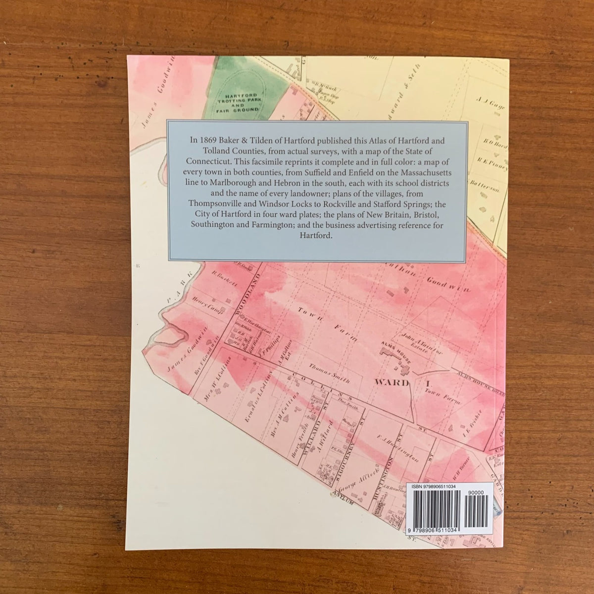
Atlas of Hartford and Tolland Counties, Connecticut, with a Map of Connecticut, from Actual Surveys was published by Baker & Tilden of Hartford in 1869. This edition is a complete facsimile, printed in full color, so the hand-colored maps and every page of the original are reproduced as issued.
After the map of the State of Connecticut comes a map of every town in both counties, each divided into its school districts and lettered with the name of every landowner, with the roads, rivers, railroads, mills, churches and schoolhouses of 1869. Hartford County: Marlborough, Glastenbury, Manchester, East Hartford, South Windsor, East Windsor, Enfield, Suffield, Windsor, Hartford, Wethersfield, Rocky Hill, Berlin, New Britain, Southington, Farmington, West Hartford, Bloomfield, East Granby, Granby, Hartland, Canton, Simsbury, Bristol, Burlington and Avon. Tolland County: Mansfield, Coventry, Willington, Union, Stafford, Tolland, Vernon, Ellington, Somers, Andover, Bolton, Hebron and Columbia.
The City of Hartford is mapped in four ward plates, with a Business Advertising Reference for the city, and village plans cover Thompsonville, Hazardville, Windsor Locks, Warehouse Point, Broad Brook, Hockanum, Burnside, Collinsville, Plainville, Plantsville, Unionville, Forestville, Kensington, Rockville, South Coventry, Stafford Springs and many more, together with the plans of New Britain, Bristol, Southington, Farmington, Wethersfield, Windsor and Suffield.
An essential reference for genealogists, house historians, and collectors of Hartford County, Tolland County and Connecticut history.
88 pages. 8.5" x 11". Full color. Paperback.
Satisfaction guaranteed or you can send it back!