ExileBooks
1871 Atlas of Cumberland County, Maine
1871 Atlas of Cumberland County, Maine
Couldn't load pickup availability
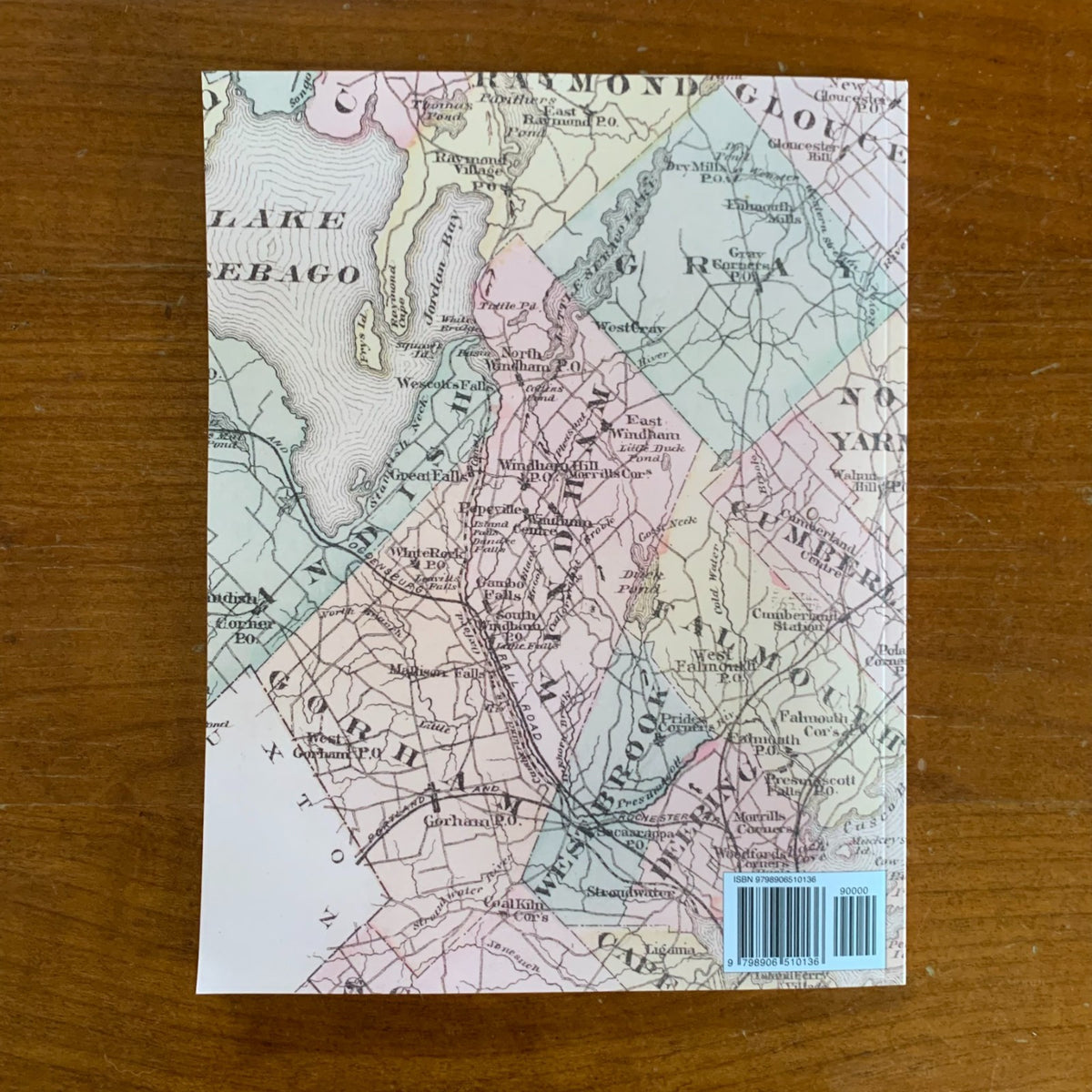
A full-color facsimile of the Atlas of Cumberland County, Maine, from actual surveys by and under the direction of F. W. Beers, published by F. W. Beers & Co. of 93 & 95 Maiden Lane, New York, in 1871, with lithography by Charles Hart and engraving by Louis E. Neuman. This reprint reproduces the complete atlas as preserved in the David Rumsey Map Collection — the gold-stamped cover, title page, table of contents, table of air-line distances, a printed history of Cumberland County, a map of the State of Maine, the county outline map, every town and village map, and the Portland subscribers' business directory. The hand-painted originals give the maps their characteristic Beers palette of rose, yellow, and green.
The mapping covers all twenty-six towns of Maine's most populous county — Portland, Westbrook, Deering, Cape Elizabeth, Falmouth, Gorham, Windham, Standish, Scarborough, Yarmouth, Freeport, Brunswick, Harpswell, Bridgton, and more — with dozens of village plans, from Saccarappa and Cumberland Mills to Ferry Village, Knightville, and Woodford's Corner. Portland itself receives a town map, a Portland-and-vicinity sheet, and six large ward maps covering the entire city street by street and lot by lot, with property owners' names throughout. Whether tracing an ancestor's farm in Naples or researching the history of a house on Munjoy Hill, the detail is parcel-level.
An essential reference for genealogists, house historians, and collectors of Portland and Cumberland County history.
68 pages. 8.5" x 11". Full color. Paperback.
Satisfaction guaranteed or you can send it back!