ExileBooks
1871 Atlas of Franklin County, Massachusetts
1871 Atlas of Franklin County, Massachusetts
Couldn't load pickup availability
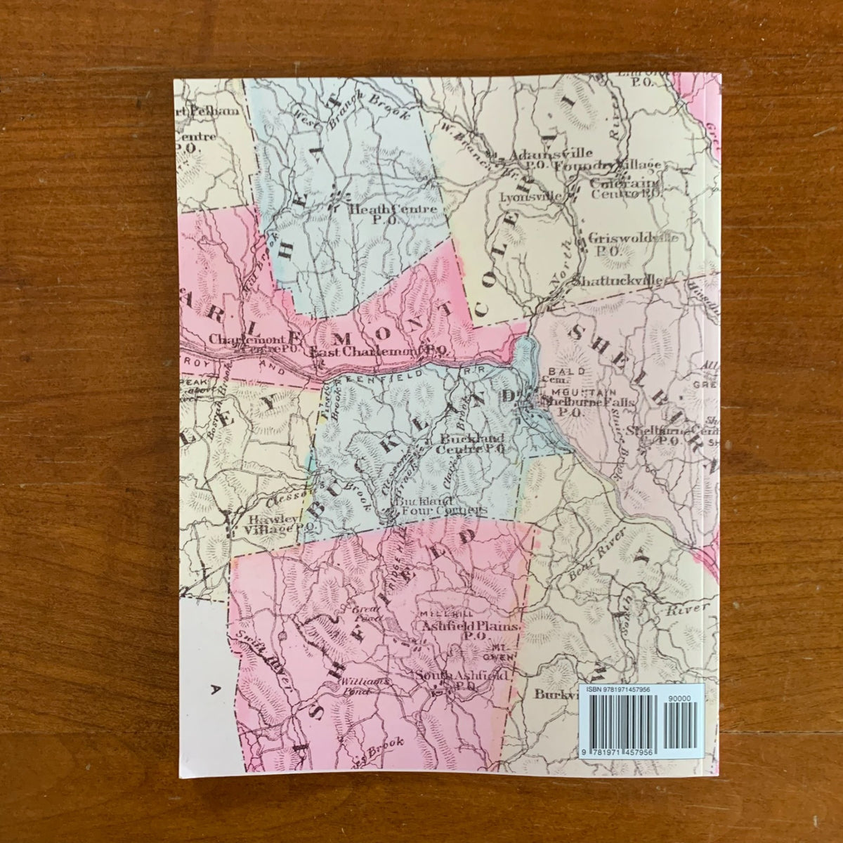
First published by F. W. Beers & Co. of New York in 1871, this county atlas presented Franklin County, Massachusetts town by town, from actual surveys directed by F. W. Beers assisted by Geo. P. Sanford and others. This edition is a complete, unabridged facsimile reproduced in full color from an original copy in the Boston Public Library.
The atlas contains detailed maps of all twenty-six towns of Franklin County — including Deerfield, Greenfield, Montague, Northfield, Shelburne, Conway, Ashfield, Charlemont, Coleraine, Orange, and Sunderland — showing roads, rivers, railroads, and the names of individual landowners as they stood in 1871. More than forty separate village plans record the county's settlements at larger scale, among them Greenfield Centre, Turner's Falls, Shelburne Falls, Miller's Falls, Deerfield Centre, Cheapside, Montague City, and Griswoldville. The volume also includes an Early History of the county, a table of distances, a Massachusetts state map, and a county outline map.
Because Beers atlases name the resident families on each town map, this atlas allows researchers to locate an ancestor's farm, trace nineteenth-century land ownership, and study villages as they existed before the modern era — an essential reference for genealogists, house historians, and collectors of Franklin County and western Massachusetts history.
52 pages. 8.5" x 11". Full color. Paperback.
Satisfaction guaranteed or you can send it back!