ExileBooks
1872 New Topographical Atlas of the State of Ohio: County Maps of Ohio
1872 New Topographical Atlas of the State of Ohio: County Maps of Ohio
Couldn't load pickup availability
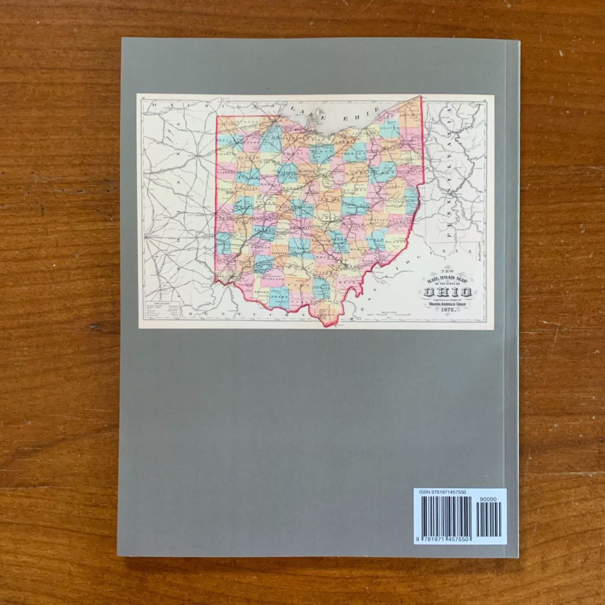
This full-color facsimile reproduces the maps from the New Topographical Atlas of the State of Ohio, originally published in Cincinnati in 1872 by Stedman, Brown & Lyon, compiled by Henry Francis Walling and Ormando Willis Gray, civil and topographical engineers, with H.H. Lloyd & Co. of New York. Please note: this reprint includes only the maps from the original atlas; the historical, scientific, and statistical descriptions are not included. Walling and Gray were two of the most prolific and respected American cartographers of the nineteenth century — Walling had directed state geological surveys in Vermont, New Hampshire, and Michigan, while Gray was the chief compiler for many of the period's leading commercial atlas publishers — and their collaboration on the Ohio atlas produced one of the most comprehensive cartographic surveys of the state issued during the post–Civil War period. By 1872, Ohio was the third-most-populous state in the Union, anchored by Cincinnati on the Ohio River, Cleveland on Lake Erie, and a rapidly industrializing interior connected by an extensive network of railroads and canals, and the atlas captures the state in remarkable detail at the height of its nineteenth-century commercial and agricultural prominence.
Summary of Contents
The atlas presents detailed county-by-county maps covering all eighty-eight counties of Ohio, with each county map showing townships, towns and villages, roads, railroads, watercourses, and topographic features at a scale sufficient to identify individual settlements and the principal landowners or institutions of the period. Many maps include insets of county seats and major towns, showing street grids and ward boundaries.
The atlas also includes general reference maps of the United States and its territories, a world map and continental maps placing Ohio within the broader geographic context, and supplementary state and regional maps typical of the comprehensive American atlases of the era. Together, the maps document Ohio at a pivotal moment in its development — when its place as the industrial and agricultural heartland of the Midwest had been firmly established, and the patterns of settlement, infrastructure, and political geography that would shape the state into the twentieth century were largely in place.
An essential reference for genealogists researching Ohio families, historians of nineteenth-century American settlement and infrastructure, county and local historians across the state, and collectors of antiquarian American cartography.