ExileBooks
1873 Atlas of Hunterdon County, New Jersey
1873 Atlas of Hunterdon County, New Jersey
Couldn't load pickup availability
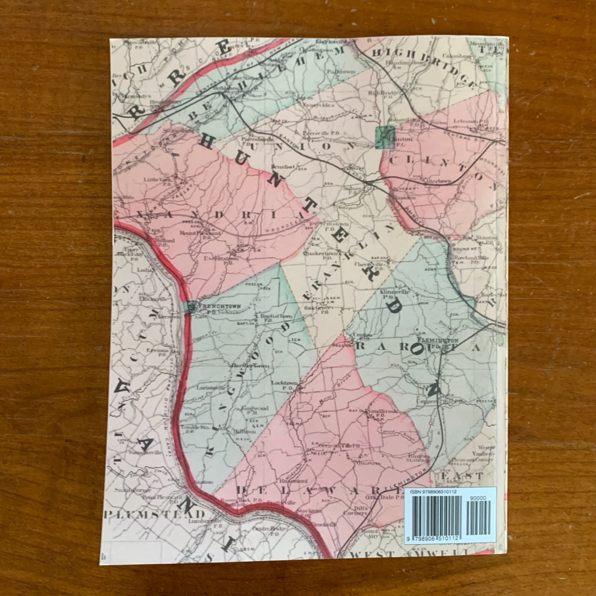
A full-color facsimile of the Atlas of Hunterdon Co., New Jersey, from recent and actual surveys and records under the superintendence of F. W. Beers, published by Beers, Comstock & Cline of 36 Vesey Street, New York, in 1873, engraved on stone by Louis E. Neuman and printed at the lithographic power press of Charles Hart. This reprint reproduces the complete atlas — title page, table of contents, table of distances and statistics, the Census of New Jersey for 1870, maps of the United States and the State of New Jersey, the outline map of Hunterdon and Somerset counties, and every township map and village plan.
The mapping covers all fourteen townships — Alexandria, Bethlehem, Clinton, Delaware, East Amwell, Franklin, High Bridge, Kingwood, Lebanon, Raritan, Readington, Tewksbury, Union, and West Amwell — with property owners' names across the countryside. Village plans bring the county's towns down to street and lot level: Flemington, Lambertville (six pages of coverage), Frenchtown, Clinton, High Bridge, Milford, Stockton, Sergeantsville, Glen Gardner, Annandale, Pittstown, Quakertown, White House, and more, plus Uhlertown across the river in Bucks County, Pennsylvania. Whether locating an ancestor's farm in Kingwood or researching a house in Lambertville, the detail is parcel-level throughout the Delaware River valley and the South Branch country.
An essential reference for genealogists, house historians, and collectors of Hunterdon County and New Jersey history.
50 pages. 8.5" x 11". Full color. Paperback.
Satisfaction guaranteed or you can send it back!