ExileBooks
1873 Atlas of Monmouth County, New Jersey
1873 Atlas of Monmouth County, New Jersey
Couldn't load pickup availability
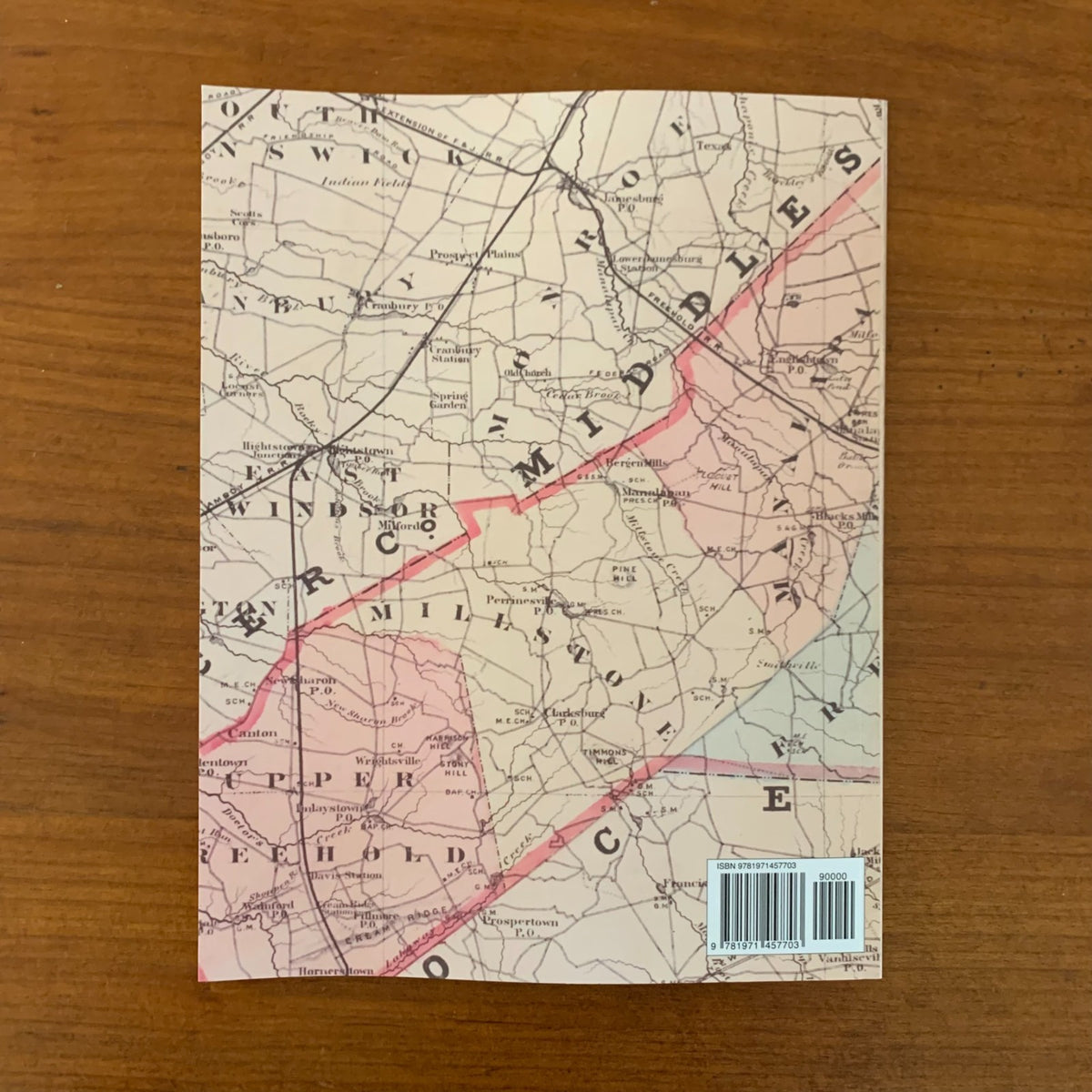
The atlas includes plat maps of the following townships and communities:
Townships — Atlantic, Freehold, Holmdel, Howell, Manalapan, Matawan, Marlboro, Middletown (northern and southern parts), Millstone, Ocean (northern, central, and southern parts), Raritan, Shrewsbury (northern and southern parts), Upper Freehold, and Wall
Towns and villages — Allentown, Branchport, Colts Neck, Eatontown, Englishtown, Fair Haven, Farmingdale, Freehold, Highlands, Holmdel, Keyport, Long Branch, Manalapan, Matawan, Middletown, Monmouth Beach, Navesink, New Bedford, Oceanic, Oceanport, Port Monmouth, Red Bank, Sea Bright, Shrewsbury, Squan Village, Tinton Falls, and many more
Township maps show land areas and property owners' names. The atlas also contains an outline map of Monmouth County, a map of the State of New Jersey, a table of distances and statistics, the 1870 census of New Jersey, and a plan of Fair View Cemetery.
This reprint is reproduced in full color from a digitized public-domain original. It is offered for genealogists and family-history researchers, local and regional historians, land and property researchers, map collectors, and anyone studying the settlement and development of Monmouth County, New Jersey.
8.5" x 11". 70 Pages. Color.
Satisfaction guaranteed or you can send it back!