ExileBooks
1874 Atlas of the City of Newton, Massachusetts
1874 Atlas of the City of Newton, Massachusetts
Couldn't load pickup availability
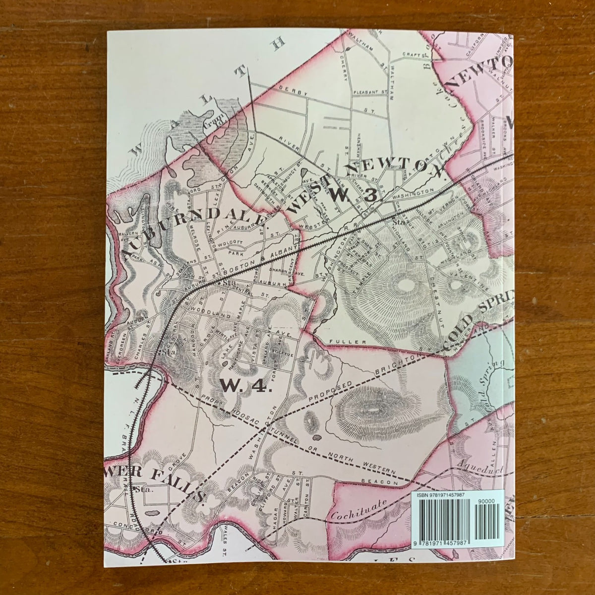
This full-color facsimile reproduces the Atlas of the City of Newton, Middlesex Co., Massachusetts, published by G.M. Hopkins & Co. of Philadelphia in 1874. This edition is unabridged: all twenty-two plates of the original are included and reproduced in full color, along with the original title page and table of contents.
Compiled from actual survey, official records, and private plans by and under the direction of G.M. Hopkins, Civil Engineer, and engraved by Edward Busch, the atlas maps the newly incorporated city of Newton at street and lot level, with individual properties and landowners' names recorded across its villages and wards. Dedicated plates cover Newton, Newtonville, West Newton, Auburndale, Newton Centre, Newton Upper Falls, and Newton Highlands, followed by ward-by-ward plates for all six wards of the city. The atlas closes with a striking historical bonus: a two-page "Map of Newton in the Year 1700," reconstructing the town's earliest landholdings nearly two centuries before publication.
For anyone researching a specific house, street, or neighborhood in Newton, these plates show who owned what — lot by lot — in 1874, an essential reference for genealogists, house historians, and collectors of Newton history.
50 pages. 8.5" x 11". Full color. Paperback.
Satisfaction guaranteed or you can send it back!