ExileBooks
1874 Atlas of the Town of Brookline, Massachusetts
1874 Atlas of the Town of Brookline, Massachusetts
Couldn't load pickup availability
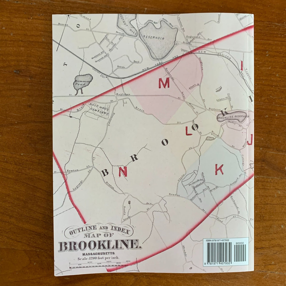
Compiled and published from actual surveys and official records by G. M. Hopkins & Co. of Philadelphia in 1874, this atlas mapped Brookline in the very year its voters rejected annexation to Boston, choosing independence even as the city absorbed Brighton, West Roxbury, and Charlestown around it. This edition is a complete, unabridged facsimile reproduced in full color from an original copy in the Boston Public Library.
The atlas opens with an outline and index map of the town at 1,200 feet to the inch, extending across the Boston line to show the adjacent city wards, the Charles River, and Jamaica Plain. Fourteen double-page plates lettered A through N then cover the town section by section, recording property lines and owners' names from the Longwood and Cottage Farm districts near the Muddy River to Brookline Village, Beacon Street, and the estates stretching toward Chestnut Hill, the Brookline Reservoir, and the Newton line. Holyhood Cemetery, the reservoirs and ponds, and the railroads all appear in fine detail.
Because every plate names property owners at the level of the individual lot, this atlas allows researchers to identify who owned a parcel in 1874, trace a property's early history, and see Brookline's neighborhoods as they stood before the streetcar era transformed them — an essential reference for genealogists, house historians, and collectors of Brookline and Boston history.
34 pages. 8.5" x 11". Full color. Paperback.
Satisfaction guaranteed or you can send it back!