ExileBooks
1874 Atlas of Wayne County, New York
1874 Atlas of Wayne County, New York
Couldn't load pickup availability
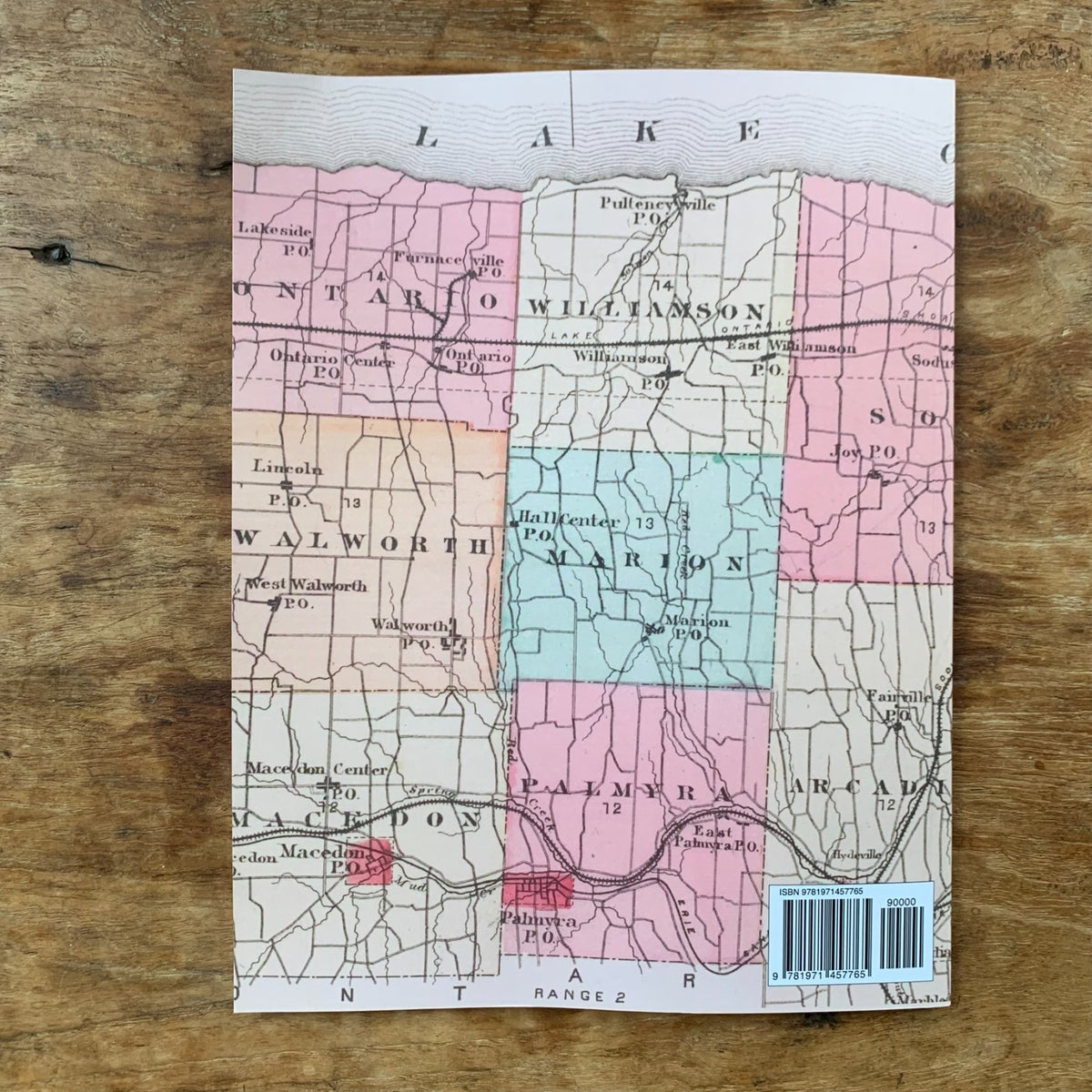
A color facsimile reprint of the Atlas of Wayne County, New York, compiled and published from actual surveys and official records by D. G. Beers & Co. of Philadelphia in 1874. Engraved by Worley & Bracher and printed by J. H. Toudy & Co., this historic atlas documents land ownership and settlement across Wayne County in the years following the Civil War, providing a detailed record of the county's towns and villages.
The atlas includes maps of the following towns and communities:
- Towns — Arcadia, Butler, Galen, Huron, Lyons, Macedon, Marion, Ontario, Palmyra, Rose, Savannah, Sodus, Walworth, Williamson, and Wolcott
- Villages — including Alloway, Alton, Clyde, East Palmyra, East Williamson, Fairville, Furnaceville, Lock Berlin, Lyons, Macedon, Macedon Center, Marengo, Marion, Newark, Ontario, Ontario Center, Palmyra, Pulteneyville, Red Creek, Rose Valley, Savannah, Sodus, Sodus Center, Sodus Point, South Butler, South Sodus, Walworth, West Walworth, Westbury, Williamson, and Wolcott
Town and village maps show land areas and property owners' names. The atlas also contains a map of the United States, a map of New York State, a county outline map, a distance table, and tables of post offices and population.
This reprint is reproduced in full color from a digitized public-domain original. It is offered for genealogists and family-history researchers, local and regional historians, land and property researchers, map collectors, and anyone studying the settlement and development of Wayne County, New York.
50 pages. 8.5" x 11". Full color. Paperback.
Satisfaction guaranteed or you can send it back!