ExileBooks
1874 Illustrated Historical Atlas of Ottawa County, Ohio
1874 Illustrated Historical Atlas of Ottawa County, Ohio
Couldn't load pickup availability
This facsimile reproduces the Illustrated Historical Atlas of Ottawa County, Ohio, compiled from recent and actual surveys and records under the superintendence of L.Q. Hardesty, Civil Engineer, and published in Chicago in 1874 by H.H. Hardesty. The atlas captures Ottawa County at a moment of rapid growth and economic transformation, when the Lake Erie islands and the southern shore of the lake were emerging as important centers of viticulture, commercial fishing, lake shipping, and resort tourism. Located on the western basin of Lake Erie, Ottawa County combined a productive agricultural mainland with the famous Bass Islands and Catawba Island — landscapes already celebrated by the 1870s for their vineyards, wineries, and summer visitors.
Summary of Contents
The atlas opens with statistics and a plan of land descriptions, followed by a railroad map of Ohio and an outline map of Ottawa County. A view of the Wehrle, Werk & Sons' Wine Cellar appears among the early plates, and the volume includes a multi-page history of Ottawa County running across approximately twelve pages, followed by an extensive Subscribers' References for Ottawa County providing biographical and property information about the atlas's patrons.
The principal cartographic content includes detailed maps covering Bay, Benton, Carroll, Catawba Island, Clay, Danbury, Erie, Harris, Portage, and Salem townships, alongside maps of Put-in-Bay Island (including the South Shore Division), Middle Bass Island, North Bass Island, and Ottawa City. Village and town plats are included for Carroll, Clay Center, Elliston, Elmore, Genoa, Martin, Middleton, Oak Harbor, Port Clinton, and Sheldon.
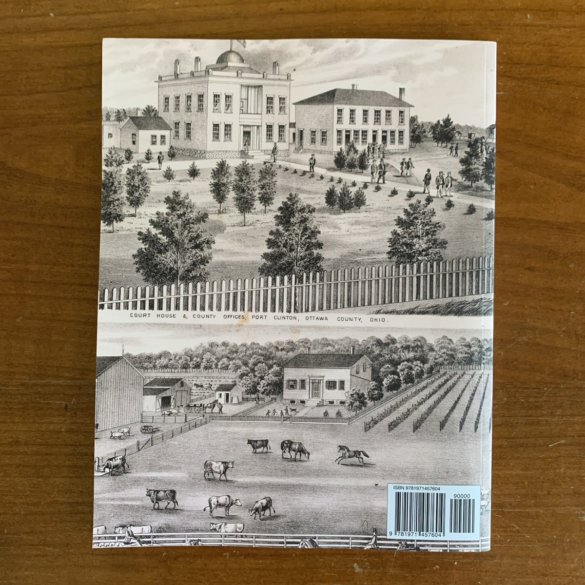
The atlas is illustrated with lithographic views of more than two dozen residences, businesses, and public buildings throughout the county, including the residences of Andrew Wehrle, M. Burggraff, John Lutes, Wm. Rehberg (with portraits of Wm. Rehberg and wife), Simon Fox, John Rehberg (with L.S. Brown's Dock and portraits of John Rehberg and wife), H.J. Miller, John Shultz, Lorenz Muller (with the Island House), John Hanck, John Stone, Henry Ludwig, Andrew Schiele, Christian Schwartz, E. Franck, Charles Roose, P. Vroman, C. Schleuse, Geo. B. Heller, D. Henricle, John G. Starkloff, Mrs. Buddenhagen, the Educational Building at Port Clinton, the residence of C. Messerschmidt, and the Court-house. The views document the architecture, agriculture, and commercial life of Ottawa County's prosperous residents during the lake-shore boom years.
Business Directories for the principal communities — Port Clinton, Oak Harbor, Elmore, and Genoa — list merchants, professionals, manufacturers, and tradesmen by name, occupation, and location, along with a Miscellaneous Business Directory covering smaller communities. Together with the Subscribers' References, the directories make the atlas an exceptionally rich resource for family and commercial research.
An essential reference for genealogists researching Ottawa County and Lake Erie shore families, historians of nineteenth-century Ohio viticulture and Great Lakes commerce, Put-in-Bay and Bass Islands historians, and collectors of antiquarian American cartography.
72 pages. 8.5" x 11". Color.