ExileBooks
1876 New Illustrated Atlas of Westmoreland County, Pennsylvania
1876 New Illustrated Atlas of Westmoreland County, Pennsylvania
Couldn't load pickup availability
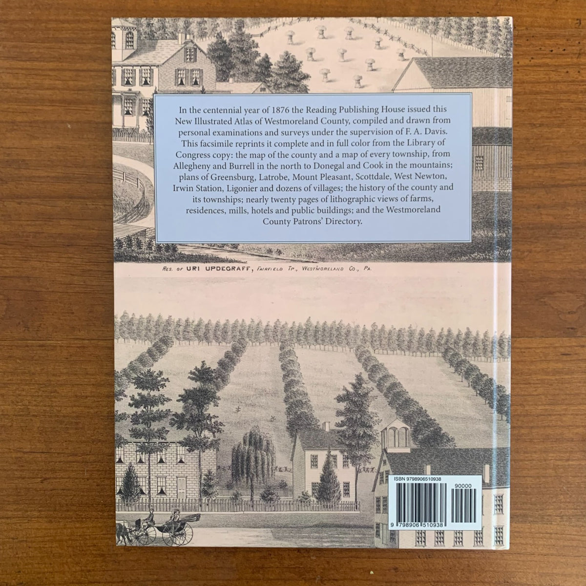
New Illustrated Atlas of Westmoreland Co., Pennsylvania was compiled and drawn from personal examinations and surveys under the supervision of F. A. Davis and published by the Reading Publishing House of Reading, Pennsylvania, in 1876. This edition is a complete facsimile, printed in full color from the Library of Congress copy, so the hand-colored maps and every page of the original are reproduced as issued.
The atlas opens with maps of the world, the United States and Pennsylvania, statistical tables and a history of Westmoreland County and of each of its townships, boroughs and villages, followed by a map of the county and a map of every township: Allegheny, Bell, Burrell, Cook, Derry, Donegal, East Huntingdon, Fairfield, Franklin, Hempfield, Ligonier, Loyalhanna, Mount Pleasant, North Huntingdon, Penn, Rostraver, Salem, Sewickley, South Huntingdon, St. Clair, Unity and Washington. Town and borough plans include Greensburg with Ludwick, Latrobe, Mount Pleasant, Scottdale, West Newton, Irwin Station, Ligonier, New Alexandria, Youngstown, Pleasant Unity, Murrysville, Adamsburg, New Stanton, Bolivar, Harrison City, New Florence, Parnassus, New Salem, Suterville, Paulton, Smithton, Manor Station, Webster, Livermore and many more, with a map of the South Mountain Railroad.
Nearly twenty pages of lithographic views show farms, residences, mills, hotels, stores and St. Vincent's Abbey and College, each captioned with the owner's name and township, and the Westmoreland County Patrons' Directory closes the volume.
An essential reference for genealogists, house historians, and collectors of Westmoreland County history.
86 pages. 8.5" x 11.25". Full color. Hardcover.
Satisfaction guaranteed or you can send it back!