ExileBooks
1877 Atlas Of Aroostook County Maine
1877 Atlas Of Aroostook County Maine
Couldn't load pickup availability
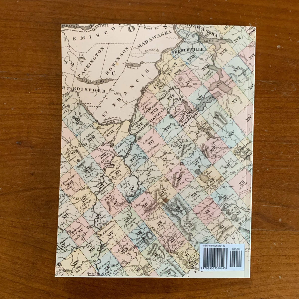
A full-color facsimile of the Atlas of Aroostook County, Maine, compiled and drawn from official plans and actual surveys by F. B. Roe and N. George Colby and published by Roe & Colby of Philadelphia in 1877, with engraving by Worley & Bracher and printing at F. Bourquin's Steam Lithographic Press. This reprint reproduces the complete atlas as preserved in the David Rumsey Map Collection — the gilt-stamped cover, title page, table of contents, the large double-page county map, every town, plantation, and township sheet, the village plans, and the subscribers' business directories. The atlas is one of the least common of the Maine county atlases, issued in a very small edition and rarely seen on the market. Note that because of the rarity, this version has some staining on pages which reflect the copy scanned.
The maps document Maine's great northern frontier county at the height of its settlement era. Detailed landowner maps cover all thirty towns and thirty-eight plantations, from Houlton, Presque Isle, Caribou, and Fort Fairfield down to Sherman, Ashland, Masardis, and the St. John Valley communities of Fort Kent, Frenchville, Madawaska, Grand Isle, and Van Buren. Village plans show Houlton, Presque Isle, Caribou, Fort Fairfield, Fort Kent, Spragueville, and more at street level. A bilingual English–German map of the Swedish Colony records the New Sweden immigrant settlement, and township-range survey plans cover the unsettled timber lands. Property owners' names appear throughout, making it possible to locate ancestors' farms and trace nineteenth-century landownership across the county.
An essential reference for genealogists, local historians, and collectors of Maine and Aroostook County history.
60 pages. 8.5" x 11". Full color. Paperback.
Satisfaction guaranteed or you can send it back!