ExileBooks
1881 City Atlas of Troy, New York
1881 City Atlas of Troy, New York
Couldn't load pickup availability
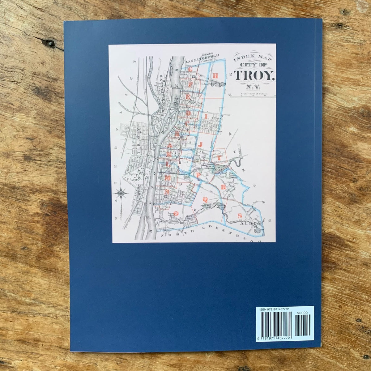
A color facsimile reprint of the City Atlas of Troy, New York, published by G. M. Hopkins, C.E., of Philadelphia in 1881. Compiled from official records, private plans, and actual surveys, this historic atlas provides a detailed, plate-by-plate record of the City of Troy—showing property lines, lot owners, and building footprints across the city at the height of its prominence as a center of iron, steel, and collar-and-cuff manufacturing on the Hudson River.
As a Hopkins city atlas, the volume maps Troy street by street at a detailed urban scale, with each plate showing land areas and property owners' names—making it a street-level record of who owned what across the city in the early 1880s.
The atlas also includes a Business Notices section: a classified directory of Troy's leading firms and professionals of the period, among them attorneys, architects, real estate and insurance agents, banks and bankers, builders and contractors, manufacturers, merchants, hotels, coal and dry-goods dealers, gas companies, and others—a valuable snapshot of the city's commercial life, listing business names, proprietors, and street addresses.
This reprint is reproduced in full color from a digitized public-domain original. It is offered for genealogists and family-history researchers, local and regional historians, house and property researchers, map collectors, and anyone studying the development of the City of Troy, New York.
46 pages. 8.5" x 11". Full color. Paperback.
Satisfaction guaranteed or you can send it back!