1883-1913 Fire Insurance Maps and Atlas of Greensburg, Indiana
1883-1913 Fire Insurance Maps and Atlas of Greensburg, Indiana
Couldn't load pickup availability
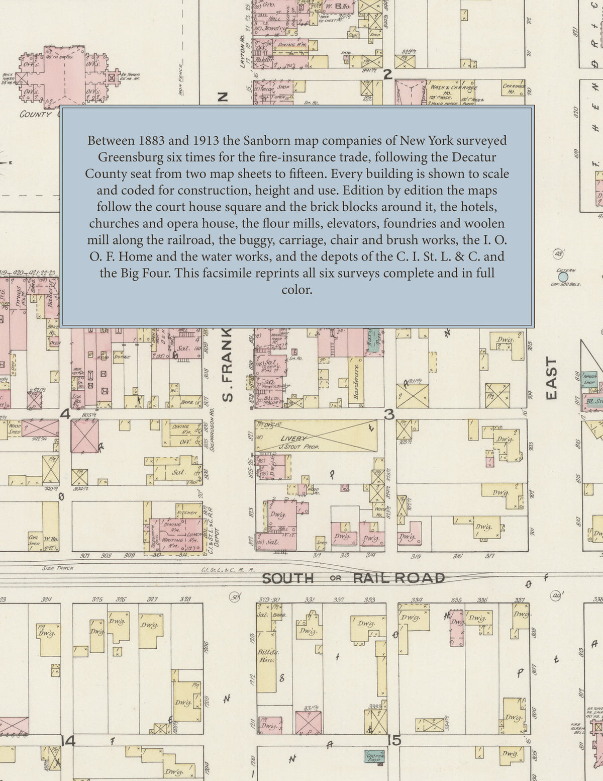
Facsimile of the six Sanborn fire-insurance surveys of Greensburg, Indiana, made between 1883 and 1913, reproduced in full color from the Library of Congress copies. Together they cover the Decatur County seat on Sand Creek: the court house square and the brick business blocks of Main, Washington, Broadway and Franklin, the hotels, churches and opera house, the flour mills, elevators, foundries and planing mills along the Big Four railroad, and the residential additions from Monfort's and Ireland's to Hendricks', Anderson's and Wilder's.
In 1883 two sheets show the County Court House on the Public Square and the jail, the Greensburg City Mills and elevator, the freight depot, the Greensburg Foundry and Machine Shop, the Greensburg Woolen Mill Co., the Franklin Mills, the Greensburg Furn. Co., the Greensburg M'f'g Co., the Decatur Planing Mill, A. P. Gaines' carriage factory and Zoller Bros.' slaughter house. The 1887 survey adds the Opera House, the Warthin Block, the Dearmond, Decatur, Farmers, Layton and Seitz hotels, the City Flour Mill, Emmeret and Co.'s flour mill, the Porter Mill and Lumber Co., the Greensburg Creamery, R. H. Watson's foundry, Coy and Imlay's carriage factory, the C. I. St. L. and C. R. R. depot and the Baptist, Centenary M. E., Methodist Episcopal, Presbyterian and St. Mary's churches. In 1892 come the Champion Flour Mill, the Greensburg Buggy Co., the Greensburg Gas and Electric Co., Doles and Erdmann's spoke factory, Menzie Bros.' packing house, the Big Four depot and the High School. The 1899 edition shows the Garland Milling Co. and elevator, J. M. Hornung's elevator and mill, the Decatur Buggy Co., the Lincoln Carriage Co., L. Spitzmesser's ice plant, the Ross Steam Laundry, the Commercial Hotel, Hotel Portland, the Christian Church and the East End Public School. The 1906 survey adds the Indiana I. O. O. F. Home and Annex, the Orphan's Home, the Carnegie Public Library, Hamilton Bros.' canning factory, the Greensburg Chair Factory, the Bromwell Brush and Wire Goods Co., N. P. Skeen and Co.'s foundry, the Butler and Seitz electric power house, the water works pumping station, the Big Four round house and the Church of God, and in 1913 come the Liggett and Myers Tobacco Co. warehouses, the Greensburg Cement Drain Tile Works, the Nading Mill and Grain Co., the Jones and Kofoid Lumber Co., the K. of P. Opera House, the Airdome, the post office and the new High School.
Between 1883 and 1913 the Sanborn map companies of New York surveyed Greensburg six times for the fire-insurance trade, drawing the town at fifty feet to the inch. Every building is shown to scale and color-coded for construction (yellow for frame, pink for brick, blue for stone), with heights, uses, mill machinery, railroad sidings, hydrants and water pipes all marked. Each edition from 1887 has a key map of the town and an index of streets and named businesses, mills, churches, schools and hotels, and a divider page introduces each edition.
This Tangletown Press edition is an unabridged facsimile republication of the atlas: all forty-eight map sheets of the six editions of 1883, 1887, 1892, 1899, 1906 and 1913, with the key map and index of every edition from 1887, each edition introduced by a divider page. Ideal for local historians, genealogists, architects, preservationists and anyone tracing a Greensburg address back to 1883-1913.
56 pages. 8.5" x 11". Full color. Paperback.
Printed to order and shipped directly to you — please allow up to 7 business days before shipment.
Satisfaction guaranteed or you can send it back!