1884-1914 Fire Insurance Maps and Atlas of Oscoda, Michigan
1884-1914 Fire Insurance Maps and Atlas of Oscoda, Michigan
Couldn't load pickup availability
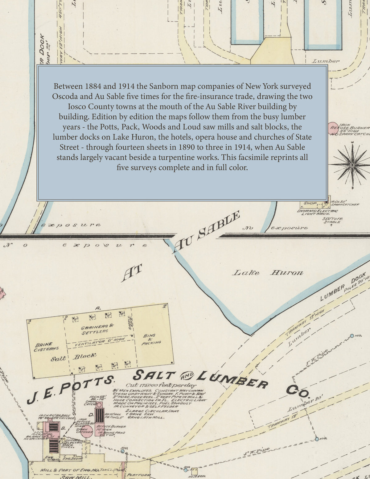
Facsimile of the five Sanborn fire-insurance surveys of Oscoda, Michigan, made between 1884 and 1914, reproduced in full color from the Library of Congress copies. Every edition covers both Oscoda and Au Sable, the neighboring towns of Iosco County at the mouth of the Au Sable River on Lake Huron: the business blocks of State and Lake streets and Michigan Avenue in the Original Town of Oscoda, the saw mills, salt blocks, lumber yards and docks along the river channels and the lake shore, and the streets of Au Sable and its additions south of the river.
In 1884 nine sheets show the J. E. Potts Salt and Lumber Co. and the Gram saw mill at Au Sable, Pack, Woods & Co.'s saw mill and salt blocks, the Oscoda Salt and Lumber Co. and its dock, the Gratwick, Smith & Fryer Lumber Co., the saw mills of Moore & Tanner and T. F. Thompson & Co., the planing mills of H. M. Loud, L. Phillips and Ferris & Wheeler, Crippen & Schofield's foundry, the American, McFarlan, National and Winchester hotels, the Oscoda and Hawkins houses, the Yockey Block and the Roller Skating Rink. The fourteen sheets of 1890 add H. M. Loud & Sons Lumber Co., Penoyar Bros.' saw mill, yard and dock, C. H. Tanner's saw mill and lumber dock, the Au Sable Lumber Co., the Oscoda and Au Sable water works, the steamboat dock and freight house, King's Opera House, the City Hall at Au Sable, the Harlington Hotel and the Campbell and Sherman houses. In 1895 come the Oscoda Lumber Co., Richards Bros.' furniture and hardware store, the Martin Hotel and the public school on Adams Avenue, and in 1901 H. M. Loud's Sons Co. line the river and lake with their sawmill, tie and shingle mill, planing mill, foundry, lumber docks and general store, beside Hull & Ely's saw and shingle mill, the Au Sable North Western R. R. locomotive house and machine shop, the Town Hall, Post Office and Opera House. The three sheets of 1914 map Oscoda including Au Sable, by then largely vacant, with the Youngstown Turpentine Co.'s refinery, the Detroit & Cleveland Navigation Co.'s landing, the Dickinson Electric and Mf'g Co., the Lakeview Hotel and Currie House, the I. O. O. F. Lodge, the public schools, and the Methodist Episcopal, Episcopal, Lutheran and Sacred Heart Roman Catholic churches.
Between 1884 and 1914 the Sanborn map companies of New York surveyed Oscoda and Au Sable five times for the fire-insurance trade; the 1884 to 1901 cartouches give fifty feet to the inch, and the three 1914 sheets carry their own scale bars and notes. Every building is shown to scale and color-coded for construction (yellow for frame, pink for brick, blue for stone), with heights, uses, saw mills, salt blocks, lumber piles, docks, tramways, hydrants and water pipes all marked. Each edition opens with a key map of the two towns and an index of named mills, businesses, churches, schools and hotels, and a divider page introduces each edition.
This Tangletown Press edition is an unabridged facsimile republication of the atlas: all forty-eight map sheets of the five editions of 1884, 1890, 1895, 1901 and 1914, each with its key map and index on the title sheet, each edition introduced by a divider page. Ideal for local historians, genealogists, architects, preservationists and anyone tracing a Oscoda address back to 1884-1914.
56 pages. 8.5" x 11". Full color. Paperback.
Printed to order and shipped directly to you — please allow up to 7 business days before shipment.
Satisfaction guaranteed or you can send it back!