1884-1918 Fire Insurance Maps and Atlas of Allegan, Michigan
1884-1918 Fire Insurance Maps and Atlas of Allegan, Michigan
Couldn't load pickup availability
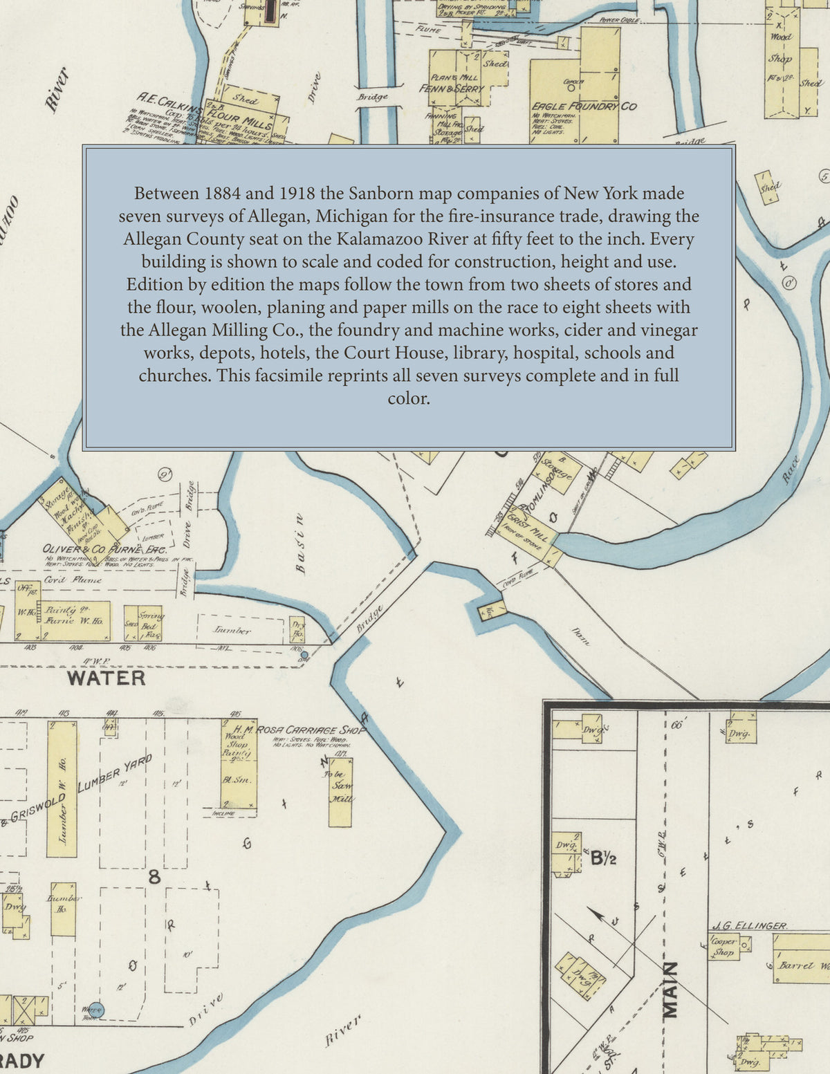
Facsimile of the seven Sanborn fire-insurance surveys of Allegan, Michigan, made between 1884 and 1918, reproduced in full color from the Library of Congress copies. Together they cover the Allegan County seat on the Kalamazoo River from 1884 to 1918: the business blocks of Hubbard, Locust, Brady, Trowbridge and Water streets, the mills, foundry and factories on the race at Foundry and Grand River streets, the County Court House and schools, the railroad depots, and the residential streets of the Original Town, Weeks' Addition and Streeter and Andrews' Addition.
In 1884 two sheets show the stores and blocks of Hubbard, Locust, Brady and Water streets and the mills along the race: the A. E. Calkins and Henshaw Pollard and Co. flour mills, the Mendel and Steatman flour mill, the J. Ambler woolen mill, the N. B. West and Eagle planing mills, the Eagle Fanning Mill factory, the Eagle Foundry, Born's wagon works, the Ira Chaffee saw and shingle mill, the paper mill and the John M. Heath machine shop. From 1888 each edition opens with a key map and index, which add the Allegan City Roller Mills and Hotel, the Spiral Spring Cart Co., the Edison-Allegan Light and Power Co., the J. B. Streeter and Son paper mill and Opera House, Oliver and Co.'s furniture factory, Dewing's Sons' saw mill and lumber yard, the Sherwood and Griswold lumber yard, the L. S. and M. S. R. R. depot, the Lake Shore Hotel, Sherman House, Chaffee House and Golden Hotel, the Marsh Block, the City Hall and the public schools. The 1893 and 1899 editions add the C. and W. M. R. R. depot, the County Court House, the Allegan City Paper Co., the Allegan Casket Co., the Newman Johnson Paper Co. and the First Baptist and Methodist Episcopal churches, and by 1918 the index lists the P. M. R. R. freight and passenger depot, the Allegan Milling Co., the Handy Electric Mills, the Allegan Foundry and Machine Co., the Allegan Cider and Vinegar Co., the Imperial Carving Co., the Mosier and Weny wood working and talking machine case works, the Benton Fruit Products Co., the Overton Concrete Co., the Owen-Arnold Co., the Consumers' Power Co., the Post Office, Public Library, Masonic Temple, New Auditorium, Opera House and Red Cross Society Building, the Hotel Bracelin and Hotel Sherman, the John Robinson Hospital, the High School and the North and South Ward schools, and the Advent, Congregational, First Baptist, Methodist Episcopal, Presbyterian and Episcopal churches and the Church of the Blessed Sacrament.
Between 1884 and 1918 the Sanborn map companies of New York made seven surveys of Allegan for the fire-insurance trade, drawing the town at fifty feet to the inch (the 1918 edition by its scale bars). Every building is shown to scale and color-coded for construction (yellow for frame, pink for brick, blue for stone), with heights, uses, mill machinery, flumes, hydrants and water pipes all marked. From 1888 each edition adds a key map of the town and an index of named businesses, mills, churches, schools and hotels, and a divider page introduces each edition.
This Tangletown Press edition is an unabridged facsimile republication of the atlas: all thirty-six map sheets of the seven editions of 1884, 1888, 1893, 1899, 1906, 1911 and 1918, with the indexes and key maps of the 1888, 1893, 1899, 1906, 1911 and 1918 editions, each edition introduced by a divider page. Ideal for local historians, genealogists, architects, preservationists and anyone tracing a Allegan address back to 1884-1918.
46 pages. 8.5" x 11". Full color. Paperback.
Printed to order and shipped directly to you — please allow up to 7 business days before shipment.
Satisfaction guaranteed or you can send it back!