1884-1922 Fire Insurance Maps and Atlas of Abbeville, South Carolina
1884-1922 Fire Insurance Maps and Atlas of Abbeville, South Carolina
Couldn't load pickup availability
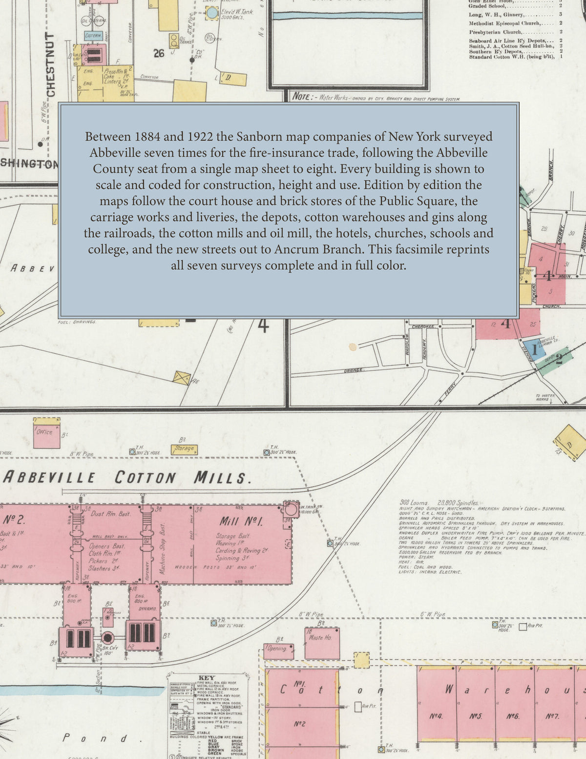
Facsimile of the seven Sanborn fire-insurance surveys of Abbeville, South Carolina, made between 1884 and 1922, reproduced in full color from the Library of Congress copies. Together they cover the Abbeville County seat - the stores and offices around the Public Square and the County Court House, the depots, cotton warehouses and gins along the railroads, the cotton mills, oil mill and works, and the residential streets out to Ancrum Branch and the Due West Road.
In 1884 a single sheet shows the whole town: the County Court House and county offices beside Court House Park, the general stores, saloons, Commercial Hotel and post office of the Public Square, Seal, McIlwain & Co.'s carriage works, A. M. Hill & Son's and Russell & Co.'s liveries, a marble-cutting shop and B. McMillan's cotton gin on the stream. The 1889 survey adds Trinity Episcopal and the Baptist church and a new hotel; in 1894 come the freight house and cotton platform on the R. & D. R. R., the Tugaloo Iron Works, J. H. Lattimer's sash, door and blind factory and an oil and fertilizer mill. In 1901 a key map and index arrive with the Abbeville Cotton Mills, their pond and warehouses, the Abbeville Electric Light & Power Co., the Abbeville Lumber Co., the Seaboard Air Line and Southern depots, the graded school and the Bradley, Carolina and Glen Ethel hotels; 1906 adds the Abbeville Furniture Co., the Abbeville Milling Co., the water works, county jail, Eureka Hotel, Harbison College and the R. C. Church of the Sacred Heart; 1912 the Coca-Cola Bottling Works, the Farmers, National and Peoples Savings bank buildings, the Municipal Building, post office, high school, the Abbeville Ice, Laundry and Fuel Co. and the Southern Cotton Oil Co.; and in 1922 eight sheets add the Abbeville City Water Works pumping station and electric light plant on Ancrum Branch, the County Memorial Hospital, the opera house, the Press and Banner, the Ford garage, the Milliken Community House and Williamson & Starks' bonded cotton warehouse.
Between 1884 and 1922 the Sanborn map companies of New York surveyed Abbeville seven times for the fire-insurance trade, drawing the town at fifty feet to the inch (the outer 1922 sheets, by their scale bars, at one hundred feet). Every building is shown to scale and color-coded for construction (yellow for frame, pink for brick, blue for stone), with heights, uses, railroad tracks, mill machinery, hydrants and water pipes all marked. The editions from 1901 onward open with a key map of the town and an index of named businesses, churches, schools, mills and works, and a divider page introduces each edition.
This edition is an unabridged facsimile republication of the atlas: all twenty-nine map sheets of the seven editions of 1884, 1889, 1894, 1901, 1906, 1912 and 1922, each edition introduced by a divider page, with key maps and indexes of named buildings from 1901 onward. Ideal for local historians, genealogists, architects, preservationists and anyone tracing a Abbeville address back to 1884-1922.
38 pages. 8.5" x 11". Full color. Paperback.
Printed to order and shipped directly to you — please allow up to 7 business days before shipment.
Satisfaction guaranteed or you can send it back!