1884-1923 Fire Insurance Maps and Atlas of Bryan, Ohio
1884-1923 Fire Insurance Maps and Atlas of Bryan, Ohio
Couldn't load pickup availability
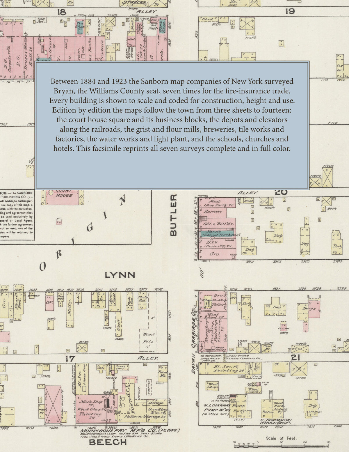
Facsimile of the seven Sanborn fire-insurance surveys of Bryan, Ohio, made between 1884 and 1923, reproduced in full color from the Library of Congress copies. Together they cover the Williams County seat from three sheets to fourteen: the court house, stores, hotels and halls around the square, the railroad depots, elevators and warehouses along the tracks, the mills, breweries and factories, the water works and light plant, the schools and churches, and the residential streets out through Edgerton's, Trevitt's and Pollock's additions to Evansport Road.
In 1884 three sheets show the court house square and the business blocks of Main Street, the L. S. & M. S. R. R. passenger and freight depots and grain elevator, the Excelsior Grist Mill, the Bryan M'f'g Co.'s wheelbarrow factory, Lockhart's pump factory, Niederauer Bros.' planing mill, the jail and the school houses and churches. By 1888 five sheets add the Cincinnati, Jackson & Mackinaw R. R. along Garden Street, the Bryan Creamery and cheese factory and the public school. The surveys of 1893 and 1899 index the Armory Hall, the Carroll Building, the Willet Bros. and Niederauer blocks, the Park House and the Kaufman and Williams hotels, the Bryan City Mills and Model Flour Mills, the Fountain City Brewery and the Halm Brewing Co., Neff Bros.' brick and tile works, the Bryan Plow Co. and Show Case Works, the water works, the High School, the Walnut Street, Butler Street and Mulberry Street schools and St. Patrick's church and school. In 1905 ten sheets take in the Carnegie Library, the C. & N. W. R. R. depot, the Bryan Brick & Tile Works, the creamery and the Bryan Water Works & Electric Light Plant, and in 1911 eleven sheets add the Cincinnati Northern R. R. station, the Bryan Mineral Bath House, the Ohio Art Building, the Opera House, the Home Savings and Loan Co. Building, Hotel Christman and the Jefferson Hotel, the Van Camp Packing Co. and the Woodward & Co. hub works. In 1923 fourteen sheets reach the N. Y. C. Lines freight and passenger depots, the C. N. R. R. depot and Interurban Depot, the Bryan Auditorium, the Ohio Art Co. toy works, the Spangler Candy Co., the Renown Rubber Co., the Campbell Lumber & Mill Co., the Bryan Hub and Spike Co. and Handle Co., the Fountain City Creamery, the Post Office and Public Library, the Central and Lincoln schools and the County Jail.
Between 1884 and 1923 the Sanborn map companies of New York surveyed Bryan seven times for the fire-insurance trade, drawing the town at fifty feet to the inch through 1911 and in 1923 at the same scale, by the scale bars on its sheets. Every building is shown to scale and color-coded for construction (yellow for frame, pink for brick, blue for stone), with heights, uses, hydrants and water pipes all marked. Each edition opens with a key map of the town, from 1893 with an index of streets and named businesses, mills, churches, schools and hotels, and a divider page introduces each edition.
This Tangletown Press edition is an unabridged facsimile republication of the atlas: all fifty-five map sheets of the seven editions of 1884, 1888, 1893, 1899, 1905, 1911 and 1923, with their key maps and, from 1893, their indexes, each edition introduced by a divider page. Ideal for local historians, genealogists, architects, preservationists and anyone tracing a Bryan address back to 1884-1923.
64 pages. 8.5" x 11". Full color. Paperback.
Printed to order and shipped directly to you — please allow up to 7 business days before shipment.
Satisfaction guaranteed or you can send it back!