1884-1924 Fire Insurance Maps and Atlas of Loudonville, Ohio
1884-1924 Fire Insurance Maps and Atlas of Loudonville, Ohio
Couldn't load pickup availability
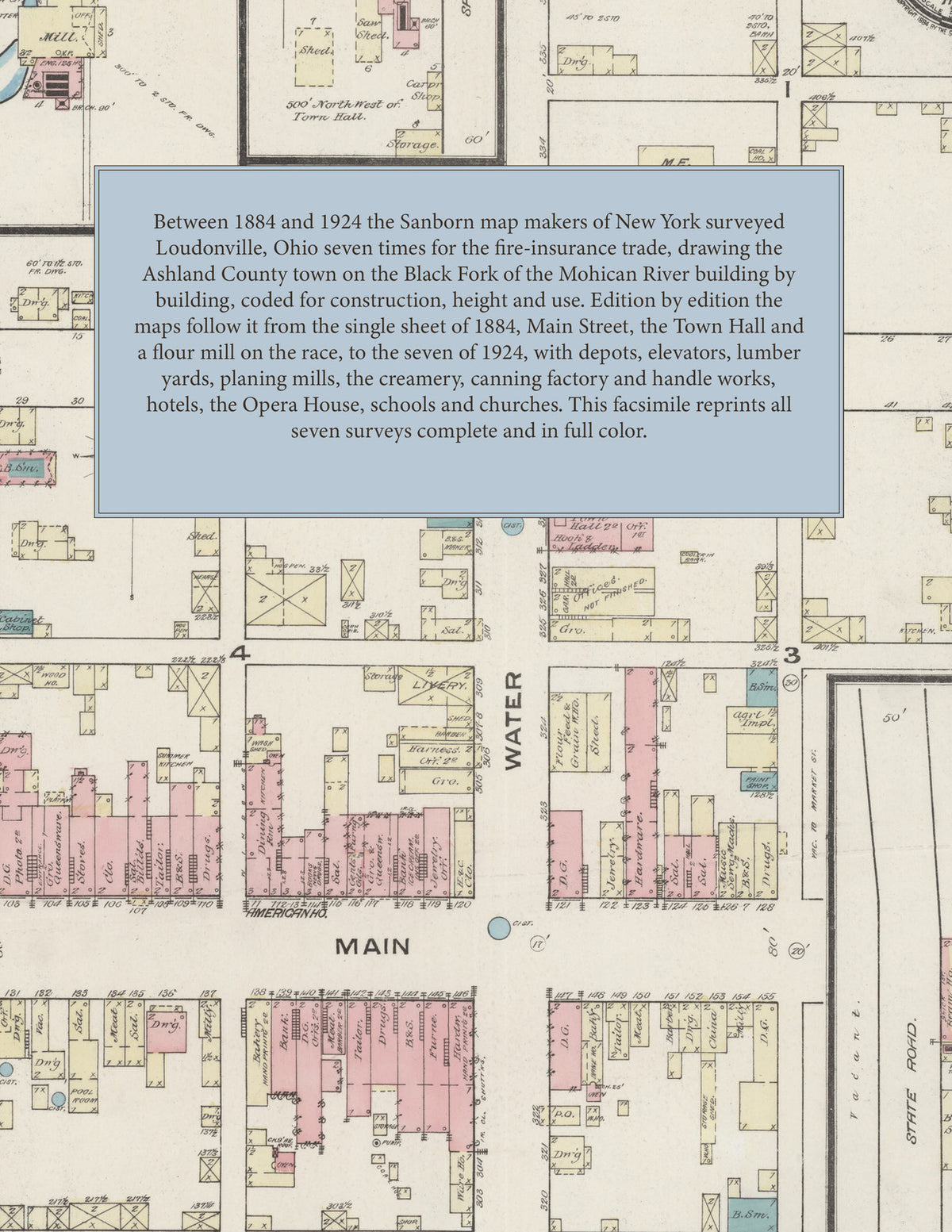
Facsimile of the seven Sanborn fire-insurance surveys of Loudonville, Ohio, made between 1884 and 1924, reproduced in full color from the Library of Congress copies. Together they cover the Ashland County town on the Black Fork of the Mohican River: the stores, hotels and halls of Main and Water Streets around the Public Square, the residential streets from Spring, Market and Union to Wood, Jefferson and Adams, the railroad depots, elevators, lumber yards and planing mills, and the flour mill, tannery and cooper shop on the race north-west of the town.
In August 1884 a single sheet shows the whole town: the store rows of Main Street with the American House, the Town Hall with its engine house, hook and ladder room and calaboose, the M. E. Church, the Clifton House, A. A. Taylor's flour mill on the race, Oliver & McCool's planing mill and G. Schauweker's tannery, both closed. The two sheets of May 1889 add the North Western Elevator and Mill Co.'s flour mill and cooper shop, Paul Oliver's planing mill and the Union School. The September 1893 edition, with the first index and key map, names the Aetna and American hotels, S. N. Ford & Co.'s lumber yard, J. Frick's tannery, E. W. Miles' creamery, Schmidt, Stather & Co.'s elevator, the Loudonville Bottling Works, Electric Light Co. and Machine Co., the P. Ft. W. & C. R. R. and T. W. & O. R. R. depots, the Union Public School and the Baptist, Catholic, Evangelical Lutheran Zion's, English Lutheran, Presbyterian, German Evangelical and Methodist Episcopal churches. July 1900 adds Branstool & Heffelfinger's lumber yard and planing mill, the Crescent M'f'g Co., The Harry M'f'g Co., the Loudonville Canning Factory, Creamery, Furniture Co. and Steam Laundry, J. Getz & Son's marble works, E. F. Shelley's elevator, the Sherman House, the Advocate printing office and Yuncker Bottling Works. By September 1907 come August & Culler's lumber yard and planing mill, the Loudonville Handle Co., H. H. Troxel's elevator, the Ullman Hotel and the T. W. V. & O. R. R. depot. The August 1913 edition names City Hall, the Library, the Opera House, the Jail, the K. of P. Club House, the High School, the Loudonville Mill and Grain Co., the Ohio Grease Lubricant Co., Levering Bros.' elevator, Kildow & Lynn's cigar factory and Z. Zimmerman's buggy factory. In May 1924 the town reaches the Loudonville Farmers Equity Exchange Co., the Loudonville Milling Co., the Flexible Co.'s motorcycle side car works, Culler, Swank & Co.'s lumber yard and woodworking, J. H. Bender's grain elevator, C. F. Dudte & Co.'s coal yard, the Water Works, the Telephone Exchange and the Penna. Lines R. R. depot.
Between 1884 and 1924 the Sanborn map companies of New York surveyed Loudonville seven times for the fire-insurance trade, drawing the town at fifty feet to the inch (the 1924 edition by its scale bars). Every building is shown to scale and color-coded for construction (yellow for frame, pink for brick, blue for stone), with heights, uses, mill machinery, hydrants and water pipes all marked. Every edition from 1893 has a key map of the town and an index of named businesses, mills, hotels, churches and schools, and a divider page introduces each edition.
This edition is an unabridged facsimile republication of the atlas: all thirty map sheets of the seven editions of 1884, 1889, 1893, 1900, 1907, 1913 and 1924, with the index and key map of every edition from 1893, each edition introduced by a divider page. Ideal for local historians, genealogists, architects, preservationists and anyone tracing a Loudonville address back to 1884-1924.
40 pages. 8.5" x 11". Full color. Paperback.
Printed to order and shipped directly to you — please allow up to 7 business days before shipment.
Satisfaction guaranteed or you can send it back!