1884-1925 Fire Insurance Maps and Atlas of Irwin, Pennsylvania
1884-1925 Fire Insurance Maps and Atlas of Irwin, Pennsylvania
Couldn't load pickup availability
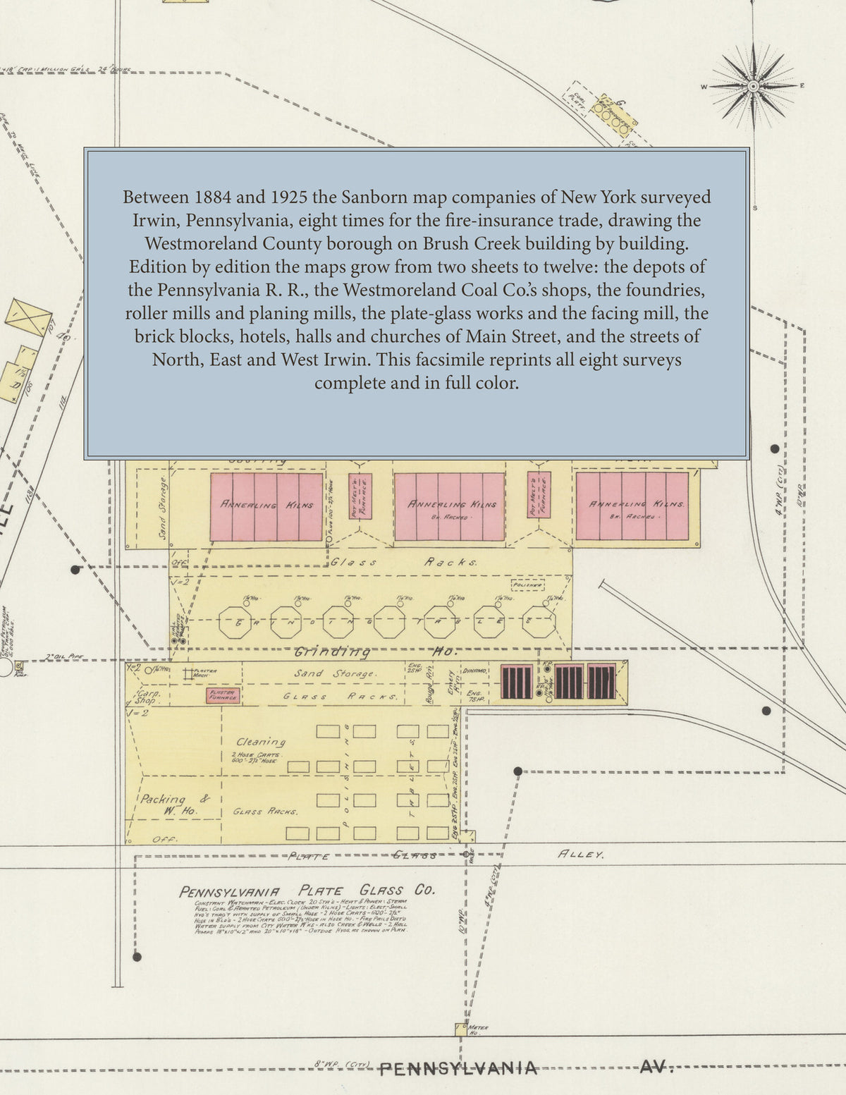
Facsimile of the eight Sanborn fire-insurance surveys of Irwin, Pennsylvania, made between 1884 and 1925, reproduced in full color from the Library of Congress copies. Together they cover the Westmoreland County borough on Brush Creek where the Pennsylvania R. R. main line meets the Youghiogheny R. R.: the business blocks of Main Street and the avenues, the depots, the shops of the Westmoreland Coal Co., the foundries, mills and works along the tracks and the creek, the churches, schools, halls and hotels, and from 1894 the streets of North and West Irwin and from 1919 East Irwin.
The two sheets of June 1884 show the young borough on Brush Creek: the passenger and freight depots of the P. R.R., the car shop, lumber shed and locomotive house of the Westmoreland Coal Co., the J. S. Cunningham & Son foundry, the Hockensmith & Fulton machine shop and foundry, the R. & H. Fulton planing mill, the Hawkeye and Irwin mills, the Union and St. James hotels and the stores of Main Street. The three sheets of October 1889 add a key map and index, the Penns. R. R. depot and locomotive house, the Richey Bros. roller mills, the Irwin Foundry, Marble & Granite Works and Novelty Works, Kunkle's Hall, the Catholic Church of the Immaculate Conception, the Methodist Episcopal, Lutheran, Presbyterian and United Presbyterian churches, the public schools and the American, Central, Commercial and Hennessey hotels. The seven sheets of May 1894 reach North Irwin and West Irwin, the Pennsylvania Plate Glass Co.'s works, the Penn Facing Mill, the Irwin Brick Works, Flour Mills and Wagon Works, the Irwin Lumber Co.'s planing mill, Hotel Crescent and the Jones and Stuart hotels; the six sheets of September 1899 mark the ruins of the plate-glass works, burned in May 1898, and add the Hocken-Smith Wheel and Mine Car Co. and the Pennsylvania Electrical M'f'g Co. The six sheets of July 1904 add the Albion, Brunswick and West End hotels, the Crescent Brewing Co. and A. F. Schaffer's planing mill; the seven of September 1909 the Post Office, the Fire Department, the High School, the Y. R. R. depot, the Irwin Flour Mills Co. and the blocks of North Irwin. The twelve sheets of November 1919 and the twelve of August 1925, taking in North, East and West Irwin, add The Grand and The Lyric moving pictures, the Hotel Arlington, the Irwin-Hermine Traction Co.'s car barn, the Lincoln Highway Garage, the Koontz & Woodruff marble works, the Westmoreland Coal Co.'s general offices, the Westmoreland Water Co.'s Irwin Reservoir, the North Irwin Public School, City Hall, the Police Station, the Calvary Baptist Church, the Pittsburg Reflector and Illuminating Co., H. M. Pringle & Sons' planing mill and the residential avenues of the whole town.
Between 1884 and 1925 the Sanborn map companies of New York surveyed Irwin eight times for the fire-insurance trade, drawing the town at fifty feet to the inch - the 1925 edition by its scale bars. Every building is shown to scale and color-coded for construction (yellow for frame, pink for brick, blue for stone), with heights, uses, mill and works machinery, hydrants and water pipes all marked. From 1889 each edition opens with a key map of the town and an index of streets and named mills, works, churches, schools, halls and hotels, and a divider page introduces each edition.
This Tangletown Press edition is an unabridged facsimile republication of the atlas: all fifty-five map sheets of the eight editions of 1884, 1889, 1894, 1899, 1904, 1909, 1919 and 1925, with the key maps and indexes of 1889 to 1925, each edition introduced by a divider page. Ideal for local historians, genealogists, architects, preservationists and anyone tracing a Irwin address back to 1884-1925.
66 pages. 8.5" x 11". Full color. Paperback.
Printed to order and shipped directly to you — please allow up to 7 business days before shipment.
Satisfaction guaranteed or you can send it back!