1884-1926 Fire Insurance Maps and Atlas of Winooski, Vermont
1884-1926 Fire Insurance Maps and Atlas of Winooski, Vermont
Couldn't load pickup availability
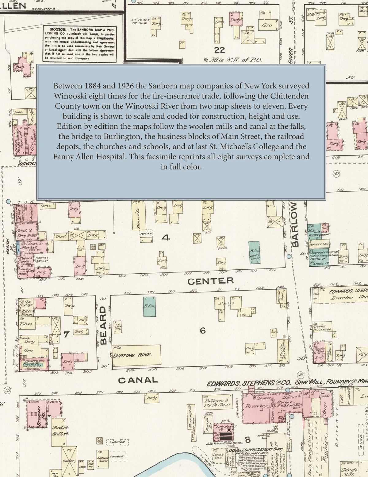
Facsimile of the eight Sanborn fire-insurance surveys of Winooski, Vermont, made between 1884 and 1926, reproduced in full color from the Library of Congress copies. Together they cover the Chittenden County town on the Winooski River: the woolen mills and canal at the falls, the bridge to Burlington, the business blocks of Main Street, the C. V. R. R. depots, the churches, schools and residential streets, and by 1926 St. Michael's College and the Fanny Allen Hospital.
In 1884 two sheets show the Burlington Woolen Co.'s mills and the Colchester Merino Mill at the falls, the wooden bridge to Burlington, the Congregational and Methodist churches, the engine house and the stores of Main Street. The surveys of 1889, 1894 and 1899 follow the mills, the canal and the streets out to Malletts Bay Avenue, Weaver, Barlow and Le Claire. In 1904 the index names the American Woolen Co., the Brunswick House, the Burlington Flouring Co., the Cent. Verm. R. R. depot and freight house, the Corporation Building, the Winooski Block, the Porter Screen Co., Tobey & Catlin's saw mill, M. Flynn's wood works, St. Francis church and school and the public school. By 1926 come the American Woolen Co.'s worsted yarn and cloth mills, the City Hall and water works, the Champlain Trust Co. Building, the Winooski Savings Bank Building, the New City Hotel, the Stevens Machine Co. foundry, the Richard M'f'g Co. woodworking shops, the Winooski Overgaiter Co., the Champlain Valley Lime Co., the high school, St. Louis Convent and Parochial School, St. Michael's College and the Fanny Allen Hospital.
Between 1884 and 1926 the Sanborn map companies of New York surveyed Winooski eight times for the fire-insurance trade, drawing the town at fifty feet to the inch in the editions that print a scale. Every building is shown to scale and color-coded for construction (yellow for frame, pink for brick, blue for stone), with heights, uses, mill machinery, water power, hydrants and water pipes all marked. Every edition from 1889 carries a key map of the town and an index of streets and of named mills, churches, schools and public buildings, and a divider page introduces each edition.
This Tangletown Press edition is an unabridged facsimile republication of the atlas: all forty-nine map sheets of the eight editions of 1884, 1889, 1894, 1899, 1904, 1909, 1919 and 1926, with the key map and index of every edition from 1889, each edition introduced by a divider page. Ideal for local historians, genealogists, architects, preservationists and anyone tracing a Winooski address back to 1884-1926.
60 pages. 8.5" x 11". Full color. Paperback.
Printed to order and shipped directly to you — please allow up to 7 business days before shipment.
Satisfaction guaranteed or you can send it back!