1885-1913 Fire Insurance Maps and Atlas of Tulare, California
1885-1913 Fire Insurance Maps and Atlas of Tulare, California
Couldn't load pickup availability
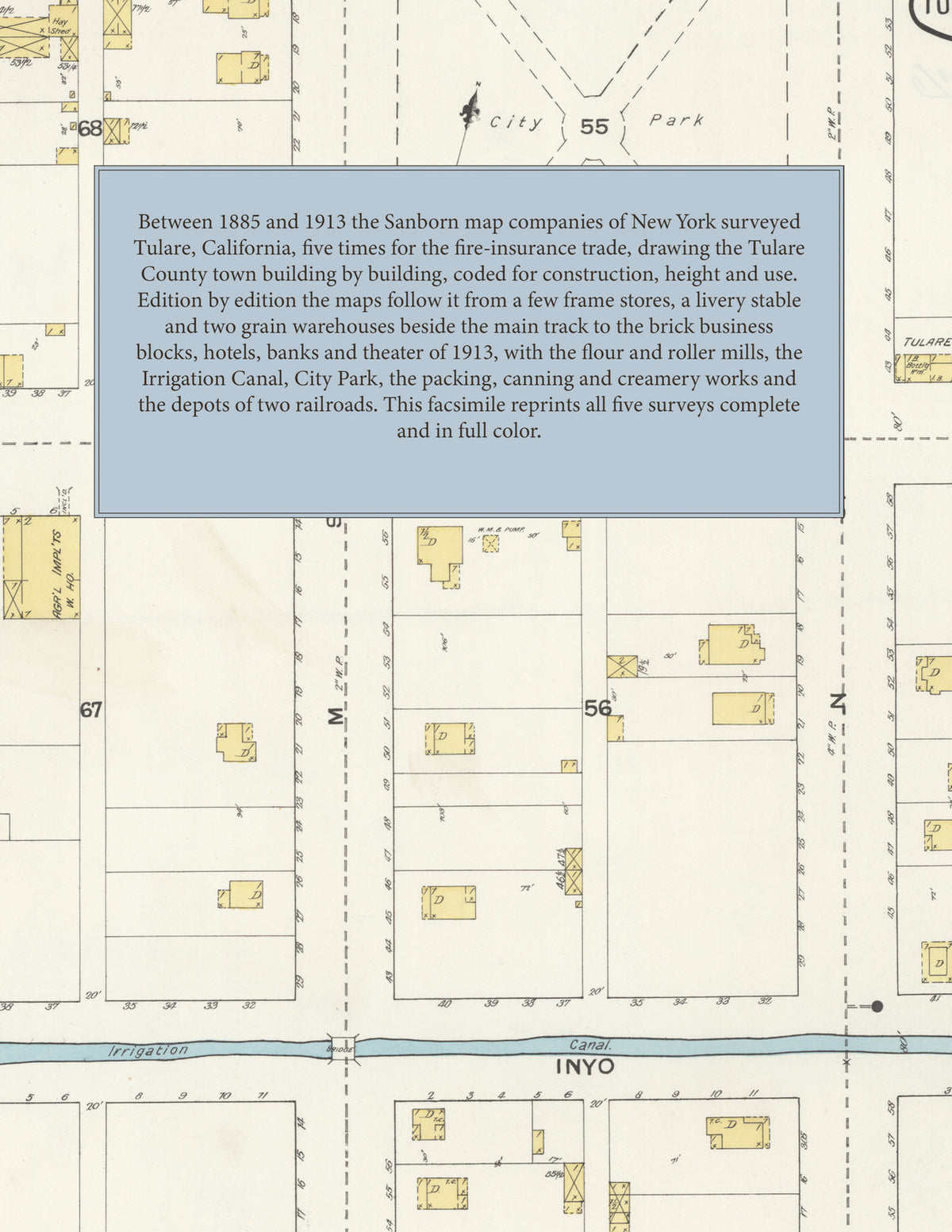
Facsimile of the five Sanborn fire-insurance surveys of Tulare, California, made between 1885 and 1913, reproduced in full color from the Library of Congress copies. Together they cover the Tulare County town by the railroad: the stores, hotels, banks and livery stables of the business blocks around Tulare, Kern and King streets, the depots, grain warehouses, lumber yards and flour mills of the railroad reservation, the Irrigation Canal and City Park, and the residential streets out to the high school and the packing and canning works.
In 1885 two sheets show the Tulare Livery Stables, the Pacific Hotel, the Public Hall, the Tulare Lumber Co., the M. E. Church, the railroad depot and freight house and the grain warehouses of J. Goldman & Co. and J. F. Kessing beside the main track. The 1887 edition adds an index naming the Grand and Mechanics hotels, the Kessing and Goldman blocks, the Mazeppa and Tulare livery stables, the Free Press printing office, the gas works, the So. Pacific R. R. depot, the San Joaquin Lumber Co., the Farmers Union, Tulare, Farrar, Hatch and Ross warehouses, J. M. Bowles & Co.'s Tulare City Flour Mills and the Irrigation Canal. By 1892 the town is Tulare City, with the Cosmopolitan, International, Hull, Lick and West Side hotels, Library Hall, the Baptist, Christian, Congregational and Episcopal churches, the Tulare City Roller Mills and Water Works, the Tulare Foundry and Machine Shop, Carriage Works, Gas Co., Planing Mill, Soda Works and Public School, the National and Union ice companies and City Park. The 1906 survey reaches the A. T. & S. F. R. R. depot, the Tulare Block, the Ham and Linder blocks, the Pavilion, the Mt. Whitney Power Co. sub-station, the Tulare Packing Co., the Tulare High School and the Tulare Public Library; and 1913 the Hotel Encina, the Majestic Theater, the Post Office, the S. P. R. R. passenger and freight depots, the Burnett and E. M. Cox lumber companies, the Dairymen's Co-op. Creamery Assn., the Good Luck Creamery & Sanitary Milk Co., the Tulare Canning Co., the Tulare Winery & Distillery, the Tulare County Power Co. and the Tulare Grammar School.
Between 1885 and 1913 the Sanborn map companies of New York surveyed Tulare five times for the fire-insurance trade, drawing the town at fifty feet to the inch. Every building is shown to scale and color-coded for construction (yellow for frame, pink for brick, blue for stone), with heights, uses, warehouses, mill machinery, lumber piles, hydrants and water pipes all marked. Each edition from 1887 has an index of streets and named businesses, mills, churches, schools and hotels and a key map of the town, and a divider page introduces each edition.
This Tangletown Press edition is an unabridged facsimile republication of the atlas: all forty-four map sheets of the five editions of 1885, 1887, 1892, 1906 and 1913, with the index and key map of every edition from 1887, each edition introduced by a divider page. Ideal for local historians, genealogists, architects, preservationists and anyone tracing a Tulare address back to 1885-1913.
52 pages. 8.5" x 11". Full color. Paperback.
Printed to order and shipped directly to you — please allow up to 7 business days before shipment.
Satisfaction guaranteed or you can send it back!