1885-1915 Fire Insurance Maps and Atlas of Lead, South Dakota
1885-1915 Fire Insurance Maps and Atlas of Lead, South Dakota
Couldn't load pickup availability
Facsimile of the seven Sanborn fire-insurance surveys of Lead, South Dakota, made between 1885 and 1915, reproduced in full color from the Library of Congress copies. Together they cover the Lawrence County mining town, printed Lead City on the editions to 1897 - the stores, hotels and halls of Main, Mill and Bleeker Streets, the shafts, hoists and stamp mills of the Home Stake (later Homestake) Mining Company, the railroad depots, and the hillside additions from East Lead to Sunny Side, with outlying works at Terraville, Kirk and Blacktail.
In 1885 two sheets show Lead City: the stores and saloons of Main, Mill, Bleeker, Pine, Gold and Wall Streets, the Home Stake Hotel, the Springer and Campbell houses, D. G. Milly and Co.'s public hall, a roller skating rink, the Catholic and Congregational churches and J. Lang's Western Star Brewery, and on the second sheet the works of the Home Stake Mining Co. - the "Highland" and "Star" 120-stamp mills, an 80-stamp mill, the "Old Abe" hoisting works, the Golden Star and Home Stake shafts, foundry and machine shop. The 1887 edition adds a key map and index, South Lead, the St. Elmo Hotel and the Episcopal and Methodist Episcopal churches. The 1891 survey brings the Deadwood Central R. R. depot, the Black Hills Mineral Water Works and the Lead City District School; in 1897 come the Bryant Hotel, the Roney House, a hospital, the Opera House, the Miners Union Building, Christ Church and the Catholic church and convent. From 1903 eleven sheets map the city: the Homestake stamp mill, hospital, hotel and warehouse, the Golden Star and Ellison hoists, the Hearst Mercantile Co., the C. & N. W. R. R. depots, the B. H. & Ft. P. R. R. engine house and repair shops, St. Patrick's Pro-Cathedral, the high school, the additions from Bender Park to Hiawatha Park, and the outlying hoists and mills of the Black Hills Belt Development Co., the Oro Hondo Mining Co. and the Alder Creek Gold Mining Co. in the Yellow Creek District. In 1909 come the Lead Coliseum, the Free Library, the post office, the Scandinavian and Northwestern hotels and the C. B. & Q. Interurban freight house; and in 1915 fifteen sheets add the Homestake Theatre, the Homestake recreation building, cyanide mills and clarifying plant, the Old Abe and Old Brig hoists, the Hearst Free Kindergarten, City Hall, the Park Greenhouses, the Washington Addition, and the Homestake Mining Company's Terraville property with the Monroe and Pocahontas stamp mills, the Golden Prospect hoist and saw mill, and Cyanide Mill No. 2 at Blacktail.
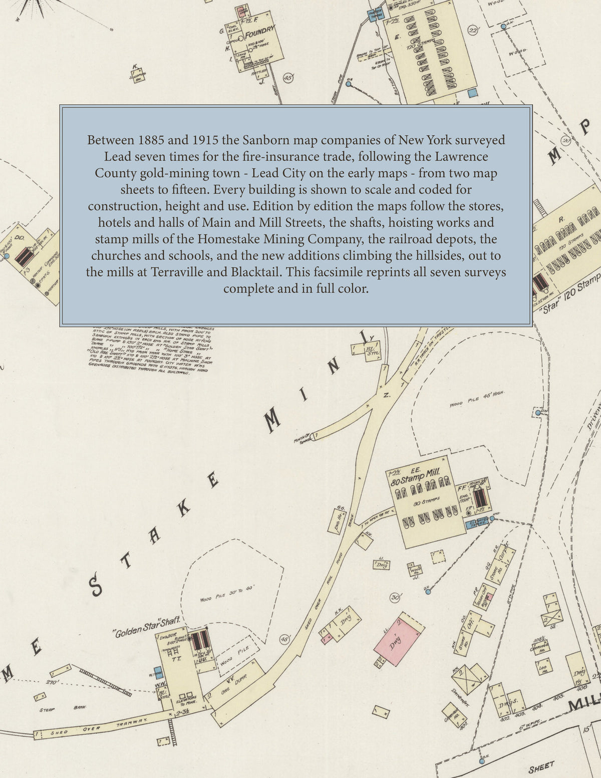
Between 1885 and 1915 the Sanborn map companies of New York surveyed Lead seven times for the fire-insurance trade, drawing the town and its mine works at fifty feet to the inch. Every building is shown to scale and color-coded for construction (yellow for frame, pink for brick, blue for stone), with heights, uses, shafts, hoists, stamp mills, railroad tracks, hydrants and water pipes all marked. The editions from 1887 onward open with a key map of the town and an index of named businesses, churches, schools, mines and works, and a divider page introduces each edition.
This Tangletown Press edition is an unabridged facsimile republication of the atlas: all fifty-one map sheets of the seven editions of 1885, 1887, 1891, 1897, 1903, 1909 and 1915, each edition introduced by a divider page, with key maps and indexes of named buildings from 1887 onward. Ideal for local historians, genealogists, architects, preservationists and anyone tracing a Lead address back to 1885-1915.
60 pages. 8.5" x 11". Full color. Paperback.
Printed to order and shipped directly to you — please allow up to 7 business days before shipment.
Satisfaction guaranteed or you can send it back!