1885-1920 Fire Insurance Maps and Atlas of Eufaula, Alabama
1885-1920 Fire Insurance Maps and Atlas of Eufaula, Alabama
Couldn't load pickup availability
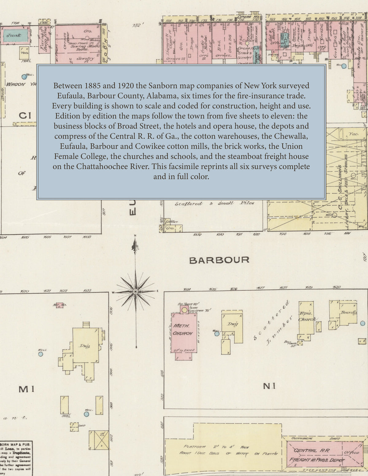
Facsimile of the six Sanborn fire-insurance surveys of Eufaula, Alabama, made between 1885 and 1920, reproduced in full color from the Library of Congress copies. Together they cover the Barbour County town from five sheets to eleven: the business blocks of Broad Street and Barbour Street, the blocks along Eufaula, Randolph, Orange, Livingston, Forsyth and Union streets, the railroad depots, compress and cotton warehouses, the cotton mills, and the residential streets out to Cotton Avenue, Highland Avenue, Dale Road, the steamboat freight house on the Chattahoochee River and Hoboken.
In 1885 five sheets show the Central Hotel, St. Julien Hotel and National Hotel, the opera house and Hart's Block, the Alabama, City, Georgia and Planters' cotton warehouses, the Central R. R. compress and depot, the Montgomery & Eufaula R. R., the Barbour Machine Works, the Eufaula Oil Mill Co. and bagging mill, and the Chewalla Mills. The 1892 index adds the Bluff City Mills, the Eufaula Cotton Mills, the Eufaula Gas Works and Water Works, the Eufaula Furniture & Variety Works, the County Court House, the Union Female College, the Eufaula Public School and the Times and News printing office. By 1897 the sheets take in the Chewalla Cotton Mills, the Eufaula Canning Co. and the Arlington Hotel, and in 1903 the Eufaula Brick M'f'g Co., the Foy Ice and Fertilizer Co., the Blakeley Ice Factory, the City Hotel, the Girls' High School and the Steamboat Freight Storage-house. The 1910 survey shows the Alabama Brenau College, the Barbour Cotton Mills, the Cowikee Cotton Mills, the Chattahoochee Brick Co., the C. of G. R. R. depots, the Eufaula Buggy Co., the Bluff City Inn, the City Hall and the Public Library. In 1920 eleven sheets reach the Marcella Cotton Mill, H. Foy & Co.'s gin and fertilizer plant, the Eufaula Coca-Cola Bottling Co., the Eufaula Ice and Cold Storage Co., the Commercial Bank Building, the Britt Hospital, the telegraph office and the garages, the covered bridge over the Chattahoochee River, Hoboken, and the First Baptist, First Methodist Episcopal, First Presbyterian, Tabernacle Baptist and St. James Episcopal churches.
Between 1885 and 1920 the Sanborn map companies of New York surveyed Eufaula six times for the fire-insurance trade, drawing the town at fifty feet to the inch through 1910 and in 1920 at the scales printed on each sheet. Every building is shown to scale and color-coded for construction (yellow for frame, pink for brick, blue for stone), with heights, uses, hydrants and water pipes all marked. Each edition has a key map of the town and an index of named businesses, warehouses, mills, churches, schools and hotels, and a divider page introduces each edition.
This Tangletown Press edition is an unabridged facsimile republication of the atlas: all forty-seven map sheets of the six editions of 1885, 1892, 1897, 1903, 1910 and 1920, with the key maps and indexes of each edition, each edition introduced by a divider page. Ideal for local historians, genealogists, architects, preservationists and anyone tracing a Eufaula address back to 1885-1920.
56 pages. 8.5" x 11". Full color. Paperback.
Printed to order and shipped directly to you — please allow up to 7 business days before shipment.
Satisfaction guaranteed or you can send it back!