1885-1922 Fire Insurance Maps and Atlas of Big Spring, Texas
1885-1922 Fire Insurance Maps and Atlas of Big Spring, Texas
Couldn't load pickup availability
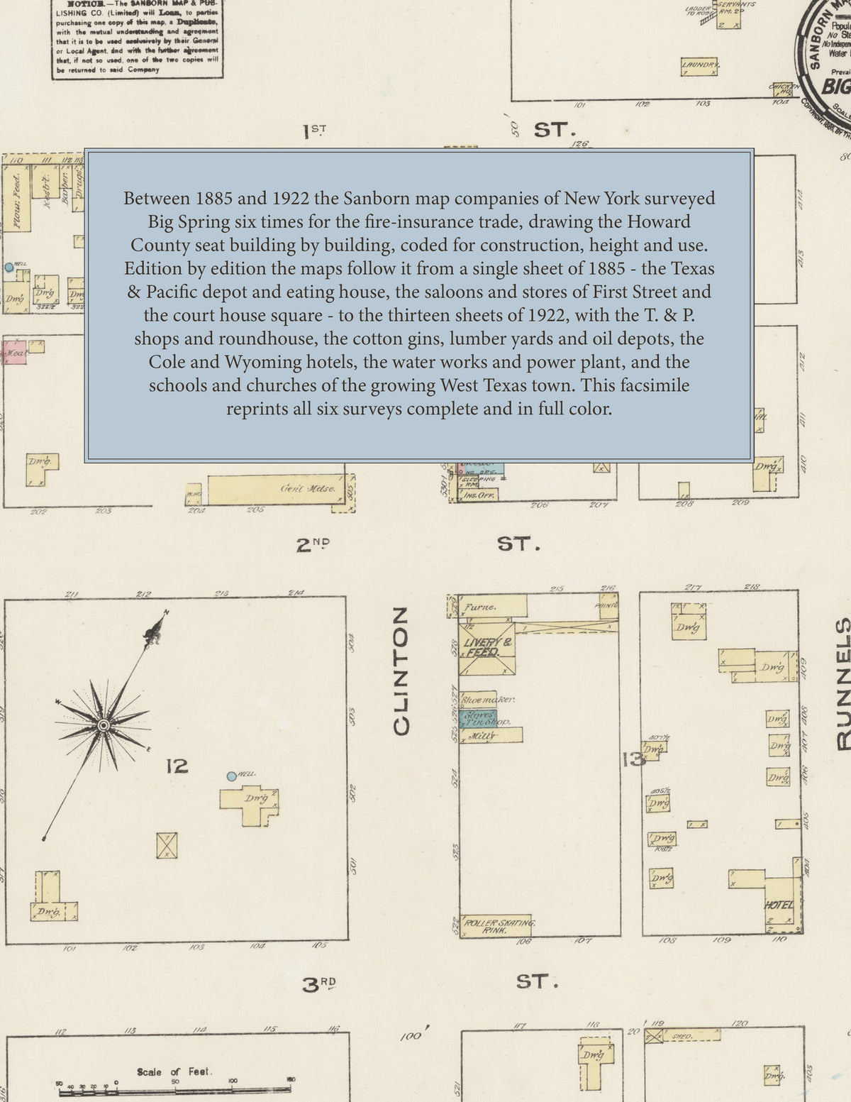
Facsimile of the six Sanborn fire-insurance surveys of Big Spring, Texas, made between 1885 and 1922, reproduced in full color from the Library of Congress copies. Together they cover the Howard County seat: the stores, banks, hotels and court house around the Public Square on Main, Scurry and Runnels streets, the depots, shops and roundhouse of the Texas & Pacific R. R., the cotton gins, lumber yards and oil depots along the tracks, and the residential streets from First to Tenth and beyond.
The single sheet of February 1885 draws the young railroad town: the T. & P. Freight & Passenger Depot and the Texas & Pacific Eating House and Hotel beside the main track, the Pacific, Commercial and Hodges houses, the saloons, billiard halls, general merchandise and drug stores of First and Second streets, the Livery & Feed stable, the roller-skating rink, the public school and the County Court House and Jail on its square. The two sheets of August 1900 and the three of October 1905 fill in the business blocks on Main (then Clinton), Scurry and Runnels. From 1905 a key map and index open each edition; in February 1909 come the Big Springs Cotton Gin Co., Gin Co., Electric Light Plant and Ice and M'f'g Co., the Burton-Lingo Co. and H. H. Hardin & Co. lumber yards, the Home Steam Laundry, the Opera House, the Ostemoor and Stewart hotels, the T. & P. Home, the Railroad Y. M. C. A., the C. S. Wagon Yard and the Episcopal, Presbyterian, Cumberland Presbyterian and M. E. South churches. September 1914 adds the T. & P. R. R. shops with their roundhouse, car-repair and machine shops, and the City Pumping Station three miles south of the court house. The thirteen sheets of June 1922 reach the Cole and Wyoming hotels, City Hall, Fire Department and Chamber of Commerce, the Big Spring City Water Works & Power Plant and Steam Laundry, the West Texas Electric Co., the Southern Ice and Utilities Co., the Keiling, Planter's and J. Guitar gins, the oil depots of the Magnolia, Gulf Refining, Pierce Oil, General Oil, Hill and Texas companies, the High, Central, North Ward and Second Ward schools, and the First Baptist, Methodist Episcopal, Christian, St. Thomas Roman Catholic and Mexican Roman Catholic churches.
Between 1885 and 1922 the Sanborn map companies of New York surveyed Big Spring six times for the fire-insurance trade, drawing the town at fifty feet to the inch (the 1914 and 1922 editions by the scale notes on their sheets). Every building is shown to scale and color-coded for construction (yellow for frame, pink for brick, blue for stone), with heights, uses, gin and shop machinery, hydrants and water pipes all marked. The 1905, 1909, 1914 and 1922 editions add a key map of the town and an index of streets and named businesses, hotels, churches and schools, and a divider page introduces each edition.
This edition is an unabridged facsimile republication of the atlas: all thirty-three map sheets of the six editions of 1885, 1900, 1905, 1909, 1914 and 1922, with the key maps and indexes of the 1905, 1909, 1914 and 1922 editions, each edition introduced by a divider page. Ideal for local historians, genealogists, architects, preservationists and anyone tracing a Big Spring address back to 1885-1922.
42 pages. 8.5" x 11". Full color. Paperback.
Printed to order and shipped directly to you — please allow up to 7 business days before shipment.
Satisfaction guaranteed or you can send it back!