1885-1922 Fire Insurance Maps and Atlas of Frostburg, Maryland
1885-1922 Fire Insurance Maps and Atlas of Frostburg, Maryland
Couldn't load pickup availability
Facsimile of the six Sanborn fire-insurance surveys of Frostburg, Maryland, made between 1885 and 1922, reproduced in full color from the Library of Congress copies. Together they cover the Allegany County town from end to end: the stores, hotels and halls of Union Street and Broadway, Mechanic, Water, Bowery and Main streets, the C. & P. R. R. depot and yards, the foundries, mills and fire-brick works, the churches and schools, and the residential streets out to Grahamtown, with the Allegany brick and coal works two miles north-east of town in 1922.
The three sheets of November 1885 open with a key map and show the stores of Union Street, Forrester's Hall, T. H. Paul, Son & Co.'s foundry and machine shop on Depot Street by the C. & P. R. R., R. C. Paul Jr.'s foundry, A. J. Willison's sash, blind and door factory, Johnson Bros.' planing mill and the Savage Mountain Fire Brick Works on the Bowery. The five sheets of December 1890 and the five of April 1897 extend along Union, Mechanic, Stoyer, Ormond, Frost Avenue and Loo. The ten sheets of June 1904 and the eleven of September 1910 add the Hotel Gladstone, Union Hotel and St. Cloud Hotel, the Moats and Ravenscraft opera houses, Forresters' Hall, the Hitchins and Nickel's buildings, Mayer Bros.' ice factory, H. B. Shaffer's feed mill, J. Johnson & Son's planing mill, Willison Bros.' sash and blind factory, the Frostburg Ill. & M'f'g Co. and its steam laundry, the Big Savage Fire Brick Co. and the Consolidation Coal Co.'s office and repair shop, the State Normal School No. 2, Beall High School and Hill Street School, and the Congregational, Presbyterian, Salem Reformed, St. John's Episcopal and St. Michael's Catholic churches. The nineteen sheets of April 1922 reach Hotel Gunter, Race's Hotel, the Opera House, the Post Office, the Fire Department's Station No. 1 and the Federal Hill, Grant Street and Oak Street hose houses, the Miner's Hospital, the Parker Hosiery Mill, Kakai Jean M'f'g Co., the Sleemen Bros. and Willison Bros. lumber mills, the W. M. R. R. depot, the American Railway Express station, the Congregation Sons of Israel synagogue, First Baptist and First Methodist Episcopal churches, and at Allegany the Big Savage Fire Brick Co., Mayer Bros.' brick works, the C. & P. R. R. depot and the Western Maryland Potato Growers Ass'n cold storage.
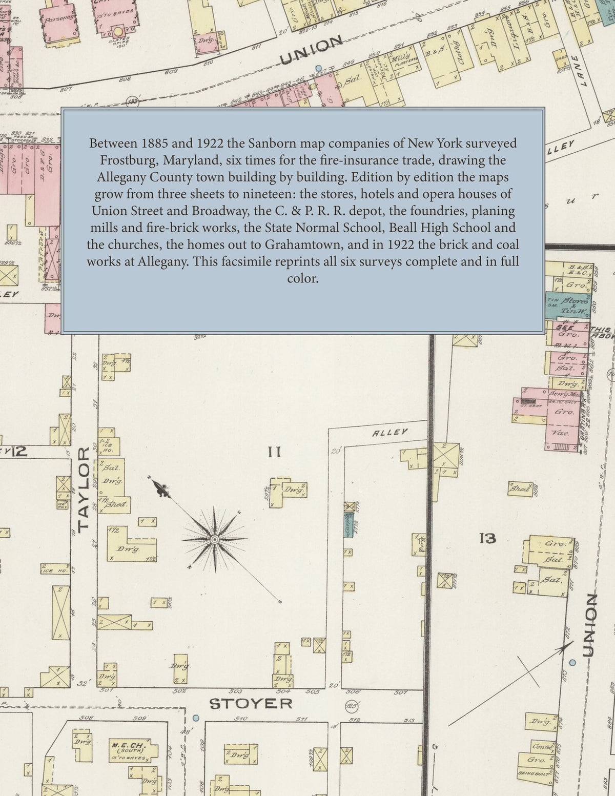
Between 1885 and 1922 the Sanborn map companies of New York surveyed Frostburg six times for the fire-insurance trade, drawing the town at fifty feet to the inch (the 1922 edition by its scale bars). Every building is shown to scale and color-coded for construction (yellow for frame, pink for brick, blue for stone), with heights, uses, kilns, foundries, mill machinery, hydrants and water pipes all marked. Every edition opens with a key map of the town, each from 1890 carries an index of streets and named mills, churches, schools and hotels, and a divider page introduces each edition.
This Tangletown Press edition is an unabridged facsimile republication of the atlas: all fifty-three map sheets of the six editions of 1885, 1890, 1897, 1904, 1910 and 1922, with the key maps of every edition and the indexes of streets and specials from 1890, each edition introduced by a divider page. Ideal for local historians, genealogists, architects, preservationists and anyone tracing a Frostburg address back to 1885-1922.
62 pages. 8.5" x 11". Full color. Paperback.
Printed to order and shipped directly to you — please allow up to 7 business days before shipment.
Satisfaction guaranteed or you can send it back!