ExileBooks
1885 Atlas of the State of Maine
1885 Atlas of the State of Maine
Couldn't load pickup availability
A full-color facsimile of the Atlas of the State of Maine, compiled and drawn from official plans and actual surveys and published by George N. Colby of Houlton, Maine, in 1885, with engraving by Wm. Bracher and printing by F. Bourquin of Philadelphia. This reprint reproduces the maps of the atlas as preserved in the David Rumsey Map Collection: the original cover, title page, preface, table of contents, and every map sheet the atlas contains. The narrative text sections of the original — the historical sketch, articles on agriculture, geology, education, railroads, and summer resorts, the statistical tables, and the business directories — were not part of the source scans and are not included; this is a maps-only edition.
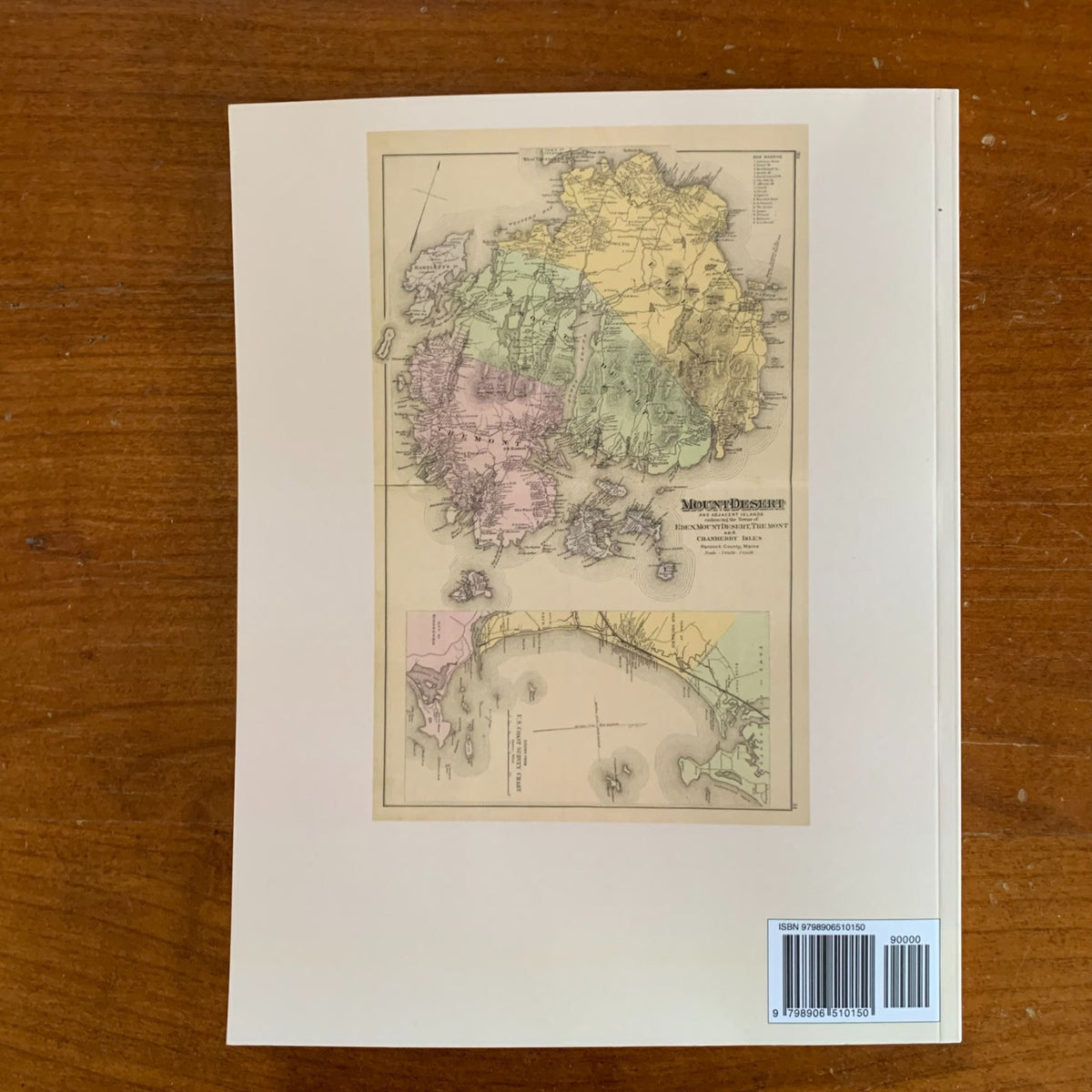
The maps are the heart of the work. All sixteen county maps are here — Androscoggin, Aroostook, Cumberland, Franklin, Hancock, Kennebec, Knox, Lincoln and Sagadahoc, Oxford, Penobscot, Piscataquis, Somerset, Waldo, Washington, and York — interleaved with detailed city and village plans of Portland, Bangor, Augusta, Lewiston and Auburn, Bath, Belfast, Rockland, Waterville, Ellsworth, Calais, Machias, Eastport, Houlton, Skowhegan, and dozens more. Special sheets cover Mount Desert Island, Casco Bay and Peak's Island, Old Orchard Beach, the Maine Central Railroad system, the geological map of the state, and Colby's six Timber Plans of the northern townships, giving lot, number, and range for the great timber lands of Eastern and Central Maine. A large folding outline map of Maine, plus United States and world maps, round out the volume.
An essential reference for genealogists, local historians, and collectors of Maine history.
76 pages. 8.5" x 11". Full color. Paperback.
Satisfaction guaranteed or you can send it back!