1886-1911 Fire Insurance Maps and Atlas of Hollidaysburg, Pennsylvania
1886-1911 Fire Insurance Maps and Atlas of Hollidaysburg, Pennsylvania
Couldn't load pickup availability
Facsimile of the six Sanborn fire-insurance surveys of Hollidaysburg, Pennsylvania, made between 1886 and 1911, reproduced in full color from the Library of Congress copies. Together they cover the Blair County seat on the Juniata River: the court house and the stores of Allegheny, Montgomery, Juniata and Union Streets, the railroad depots and the iron and nail works, Gaysport across the river, the residential streets out to Penn, Walnut and Spruce, and, from 1891, the neighboring borough of Duncansville.
The six sheets of January 1886 draw the Court House and Jail, the Logan House, Continental, Exchange, St. James, Murray, Juniata and Kellerman hotels, Condron, Masonic and G. A. R. halls, the Penns. R. R. freight depot, passenger station and engine house, the Hollidaysburg & Gap Iron & Nail Works, the Hollidaysburg Iron & Nail Co., the Blair Iron & Coal Co., the Portage Iron Co., McLanahan & Smith's iron and nail works, McLanahan & Stone's foundry, the Juniata and Springer breweries, Vowinckel's soap works, Wood, Morrell & Co.'s flour mill, the gas works, St. Mary's Catholic, Methodist Episcopal and Evangelical Lutheran churches. In October 1891 the Opera House, Town Hall, Market House, Grudenwald, Blair and United States hotels, Curran's Fence Works, the Pennsylvania Traffic Co.'s flour mill, the Seminary, St. Michael's Catholic Church and the first Duncansville sheet appear. July 1896 adds the Cambria Iron Co., the Eleanor Iron Co., the Enterprise Hosiery Mills, Madden's boiler shop, the Register and Standard printing offices and the Hotel Norman at Duncansville. September 1901 brings the Armory, the electric light plant, Schwarzenbach, Huber & Co.'s knitting mill, J. B. Condron's planing mill, the Atlantic Refining Co. and the American Steel & Wire Co. and American Steel Hoop Co. at Duncansville. The thirteen sheets of October 1906 reach the Blair County Almshouse and Retreat, the Hollidaysburg Electric Light & Power Co., the roller mills, the Portage Brick Co., the McLanahan & Stone Machine Co. and Wolff & Son's steam laundry, and August 1911 adds the Municipal Building, Post Office, High School, Notre Dame Convent, Hotel Antler, the Pennsylvania Central Electric Light and Power Co., the Thermic Coal and Coke Co., the Blair County Agricultural Society Fair Grounds and the Berwind White Coal Mining Co.'s car repair shops.
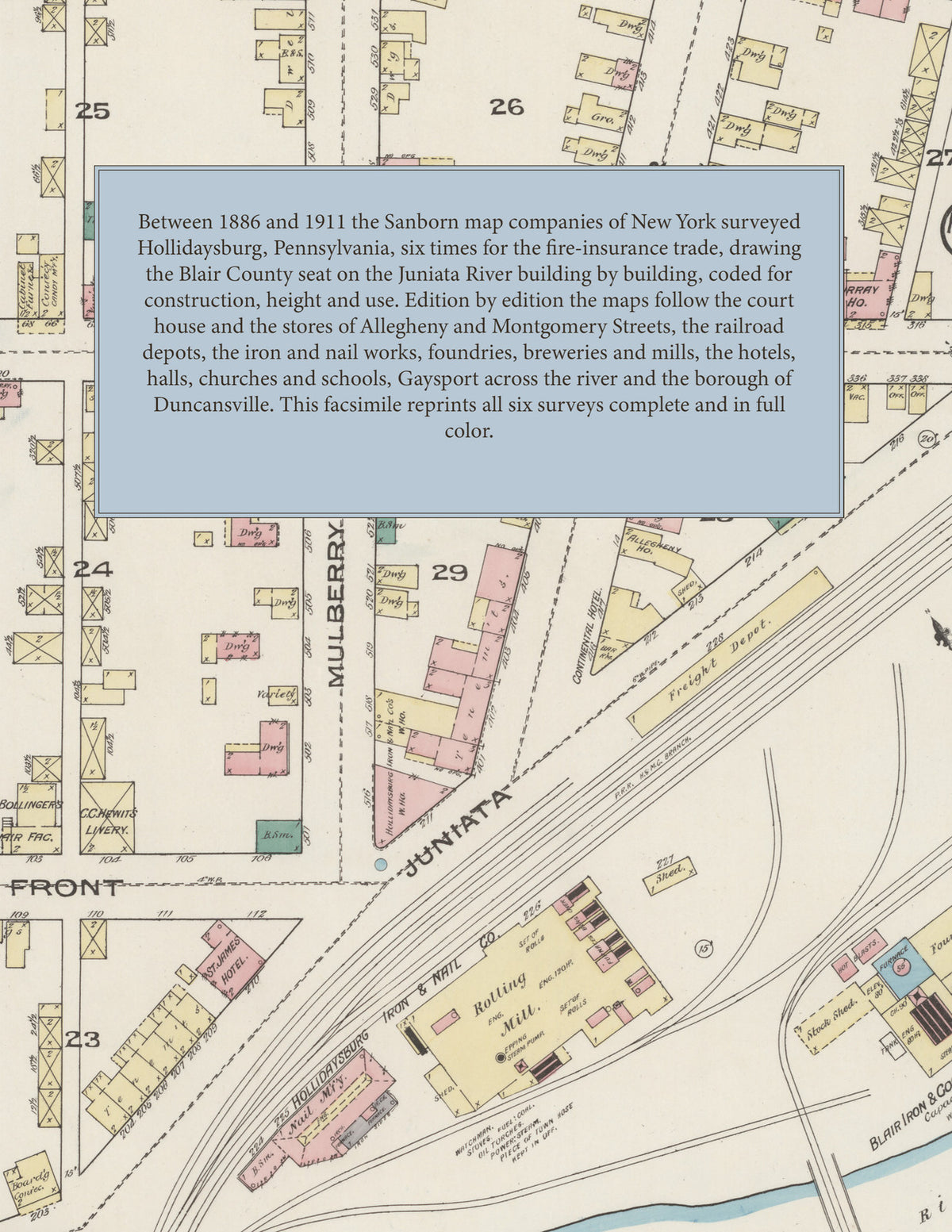
Between 1886 and 1911 the Sanborn map companies of New York surveyed Hollidaysburg six times for the fire-insurance trade, drawing the town at fifty feet to the inch. Every building is shown to scale and color-coded for construction (yellow for frame, pink for brick, blue for stone), with heights, uses, furnaces, mill machinery, railroad tracks, hydrants and water pipes all marked. Each edition opens with a key map of the town and an index of streets and named works, mills, hotels, halls, churches and schools, and a divider page introduces each edition.
This Tangletown Press edition is an unabridged facsimile republication of the atlas: all sixty-two map sheets of the six editions of 1886, 1891, 1896, 1901, 1906 and 1911, with the key map and index of each edition, each edition introduced by a divider page. Ideal for local historians, genealogists, architects, preservationists and anyone tracing a Hollidaysburg address back to 1886-1911.
70 pages. 8.5" x 11". Full color. Paperback.
Printed to order and shipped directly to you — please allow up to 7 business days before shipment.
Satisfaction guaranteed or you can send it back!