1886-1919 Fire Insurance Maps and Atlas of Grand Junction, Colorado
1886-1919 Fire Insurance Maps and Atlas of Grand Junction, Colorado
Couldn't load pickup availability
Facsimile of the eight Sanborn fire-insurance surveys of Grand Junction, Colorado, made between 1886 and 1919, reproduced in full color from the Library of Congress copies. Together they cover the Mesa County town near the Grand and Gunnison rivers from 1886 to 1919: the business blocks of Main Street and Colorado Avenue between Third and Seventh streets, the depots, lumber yards, mills and sugar works along the railroad grounds south of town, Cottonwood Park, and the residential streets of the Original Town and Mobley's out to Belford and North avenues.
In 1886 two sheets show the new town between Rood and Ute avenues: the Public School, the M. E. Church, the Mesa Opera Rink, a hotel, liveries and the first frame and brick stores of Main Street. The surveys of 1890 and 1893 add the Hotel Crawford and St. Charles Hotel, the Central High School, St. Joseph's Catholic Church, Star Printing, the Canon Block and Park Opera House, the Grand Junction Electric and Milling companies and railway stables, the Rice Bros., Parks and Co. and S. P. Gutshall lumber yards and A. J. Moore's planing mill. By 1899 seven sheets reach the Colorado Sugar Manufacturing Co., the Turn Halle, City Hall, Armory Hall, the Brunswick Hotel, Canby House and Revere House, the Ramey-Pierce Lumber Co. and the Western Planing Mill. The 1904 to 1912 editions add the Carnegie Public Library, the County Court House and Jail, St. Mary's Hospital, the Union Depot, Hotel La Court, the Lincoln and Western hotels, the Labor Temple, Masonic Hall, the Lowell and Lincoln schools, the Western Sugar and Land Co., the Grand Junction Smelting Co., the Fruit Growers Association storage, the Mesa and Independent lumber companies, the Grand Junction Plaster Manufacturing Co., the Lumsden stone yard and the electric light and artificial ice plant. The 1919 survey shows the D. and R. G. Union Passenger Depot, the Grand Junction Sugar Co., the Mesa Flour Mills, the Currie Canning Co., the Latimer Chemical Co., the Western Slope Foundry, the Majestic Theatre, the St. Regis, Oxford and La Court hotels, the B. P. O. E. Club House, the Y. M. C. A., the High School and the former Teller Institute U. S. Indian School, now a School of Agriculture.
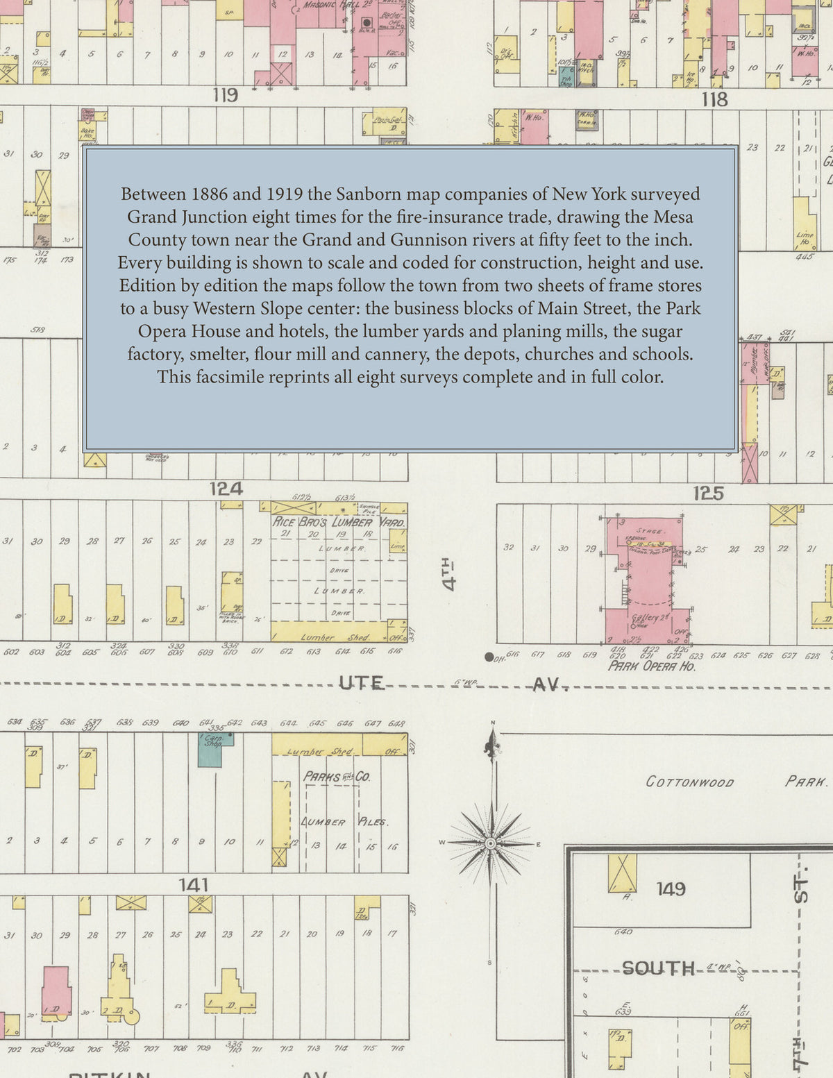
Between 1886 and 1919 the Sanborn map companies of New York surveyed Grand Junction eight times for the fire-insurance trade, drawing the town at fifty feet to the inch. Every building is shown to scale and color-coded for construction (yellow for frame, pink for brick, blue for stone), with heights, uses, lumber piles, railroad sidings, hydrants and water pipes all marked. From 1890 each edition opens with an index of streets and named businesses, mills, churches, schools and hotels and a key map of the whole town, and a divider page introduces each edition.
This Tangletown Press edition is an unabridged facsimile republication of the atlas: all ninety map sheets of the eight editions of 1886, 1890, 1893, 1899, 1904, 1907, 1912 and 1919, with the indexes and key maps of the 1890 to 1919 editions, each edition introduced by a divider page. Ideal for local historians, genealogists, architects, preservationists and anyone tracing a Grand Junction address back to 1886-1919.
100 pages. 8.5" x 11". Full color. Paperback.
Printed to order and shipped directly to you — please allow up to 7 business days before shipment.
Satisfaction guaranteed or you can send it back!