1886-1920 Fire Insurance Maps and Atlas of Eldora, Iowa
1886-1920 Fire Insurance Maps and Atlas of Eldora, Iowa
Couldn't load pickup availability
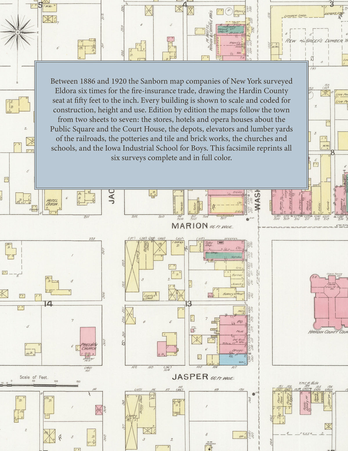
Facsimile of the six Sanborn fire-insurance surveys of Eldora, Iowa, made between 1886 and 1920, reproduced in full color from the Library of Congress copies. Together they cover the Hardin County seat from 1886 to 1920: the stores, hotels and halls about the Public Square and the County Court House, the depots, elevators and lumber yards along the railroads, the potteries and the tile and brick works on the edge of town, the Iowa Industrial School for Boys to the west, and the residential streets and additions of the town.
In 1886 two sheets show the town about the Public Square, with its band stand, and the Hardin County Court House and County Jail: the Opera House, Masonic Hall and Reading Room, the Edgington, Ellsworth and City hotels, the Post Office, the Eldora and B. E. Deyo liveries, the Shaver Wagon Co., the Rew and Greef lumber yard, the Public School, the Baptist, Congregational, Universalist, M. E., Presbyterian and Christian churches, the C. I. R. R. depots, the C. I. and D. R. R. round house, D. Bushman's grain elevator, J. Edgington's grain elevator and feed mill, the Eldora Pottery of H. C. Sweet and the Eldora Tile Works of D. O. Loy and Co. The 1893 survey adds the City Water Works, Wisner's Opera House, Hotel Dixon, the Winchester Hotel, the Y. M. C. A. Building, the Herald and Ledger printing offices, the Eldora Clay M'f'g Co., the Eldora Electric Light Co. and Planing Mill, D. Milligan and Son's elevator, Robb and Protheroe's tile works, the Stoltz and Cowan and X. Y. Z. brick and tile works and the Davis and Moser lumber and coal yard. By 1900 the town fills five sheets: the Iowa Cent. R. R. depot, the Iowa Industrial School for Boys, the High School and Public Library, the Emergency Hospital, the M. C. Morse Hospital, the Catholic, German Lutheran and First Baptist churches, the Eldora Bottling-works and Creamery, the Eldora Pipe and Tile-works, Allison and Son's mill and sash factory, the Speers Bros. and M. Watts wagon works and the grain elevators of E. P. Davis and R. H. Sheffield. The 1911 edition shows the C. and N. W. R. R. station and round house, the I. C. R. R. passenger station, the Fire Department, St. Mary's Catholic Church and the Slack Hotel. By 1915 and 1920 the streets carry new names about Edgington Avenue, and the maps reach the M. and St. L. R. R. depot, the First National Bank Building, the Humphrey Hotel, the Eldora Machine Co., the Eldora Steam Laundry and Cleaning Co., the Iowa River Light and Power Co., the Lovell-Scholfield and Moser Bros. lumber yards, and the grain elevators of E. F. Froning, V. H. Vilmont and the Farmers' Co-operative Elev. Co.
Between 1886 and 1920 the Sanborn map companies of New York surveyed Eldora six times for the fire-insurance trade, drawing the town at fifty feet to the inch, the 1915 and 1920 editions by their scale bars. Every building is shown to scale and color-coded for construction (yellow for frame, pink for brick, blue for stone), with heights, uses, elevators, kilns, hydrants and water pipes all marked. From 1893 each edition opens with a key map of the town and an index of named businesses, churches, schools and hotels, and a divider page introduces each edition.
This edition is an unabridged facsimile republication of the atlas: all thirty map sheets of the six editions of 1886, 1893, 1900, 1911, 1915 and 1920, the first sheet of each edition from 1893 carrying its key map and index, each edition introduced by a divider page. Ideal for local historians, genealogists, architects, preservationists and anyone tracing a Eldora address back to 1886-1920.
38 pages. 8.5" x 11". Full color. Paperback.
Printed to order and shipped directly to you — please allow up to 7 business days before shipment.
Satisfaction guaranteed or you can send it back!