1886-1921 Fire Insurance Maps and Atlas of Rensselaer, Indiana
1886-1921 Fire Insurance Maps and Atlas of Rensselaer, Indiana
Couldn't load pickup availability
Facsimile of the six Sanborn fire-insurance surveys of Rensselaer, Indiana, made between 1886 and 1921, reproduced in full color from the Library of Congress copies. Together they cover the Jasper County town on the Iroquois River: the business blocks of Washington Street from the Iron Bridge and Front Street past the County Court House to Van Rensselaer, Cullen and Weston, the depot, elevators, mills and lumber yards along the C. I. & L. R. R., the residential streets of Newton, Leopold, Benjamin, Kannal, South East and Emmet additions, and outlying plans of St. Joseph's College, one mile southwest of the Court House.
In June 1886 two sheets show the stores, saloons, livery and agricultural-implement houses of Washington and Front streets, Nowel's House with a bank below the hotel, the Iron Bridge over the Iroquois River and the dwellings along West Street and Van Rensselaer. The 1893 survey redraws the same blocks. In 1899 a key map and index add the C. I. & L. R. R. Depot, the County Court House, the Foster and Cleaver hotels, the Opera House, the W. C. Babcock and Coen & Brady elevators, the Monitor Roller Mills and Elevator, J. M. Gardner's roller mills, the River Queen Mills, Stoner & Day's flour mills, the Nowles-Sayler Lumber Co., the Rensselaer Water Works & Electric Light Station and Steam Laundry, the High and Grammar schools, St. Joseph's Catholic School and the Christian and Free Baptist churches. The 1904 edition adds a sheet of St. Joseph's College, with its dormitory, chapel, auditorium, music department, athletics hall, boiler house and laundry. By 1909 the index lists Babcock & Hopkins' Elevator "A", A. Collins' mills, Donnelly Bros.' planing mill, J. C. Gwin & Co.'s lumber yard, Mains & Hamilton's coal and wood yard, the Carnegie Public Library, the Post Office, the Makeever House, the fire department and the Trinity Methodist Episcopal, Presbyterian, Methodist Protestant and Missionary Baptist churches, and the college sheet shows its Chapel, Sisters Dormitory and Hospital. In May 1921 thirteen sheets reach the Princess and Star theatres, the State Bank, Trust and Savings Bank and Farmers & Merchants Nat'l Bank buildings, the Jasper County Creamery, the Rensselaer Cement Product Co., the Bona M'f'g Co., the Iroquois Roller Mills, the Corn Belt Poster Advertising Co., the County Hospital and Poor Farm, the Monnett School for Girls and the college's Gymnasium & Alumni Hall, Dwenger Hall and Power Plant.
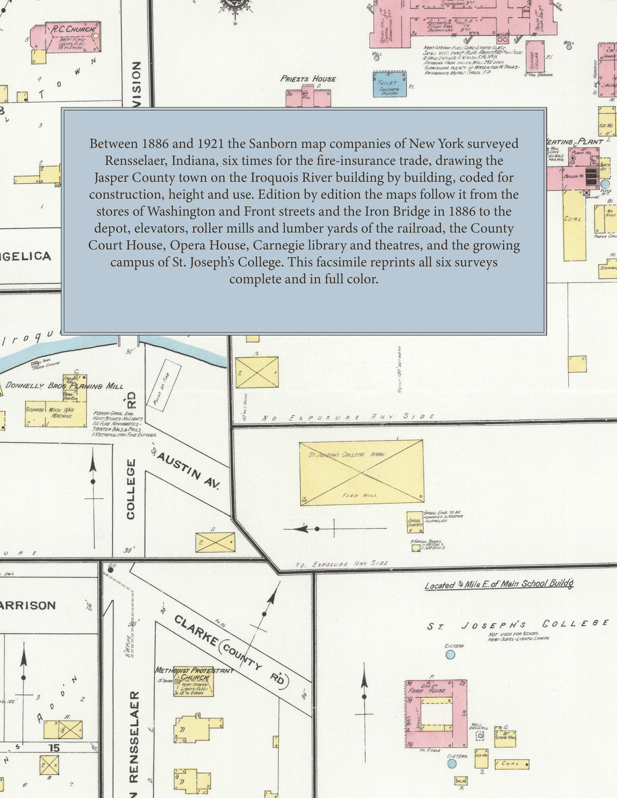
Between 1886 and 1921 the Sanborn map companies of New York surveyed Rensselaer six times for the fire-insurance trade, drawing the town at fifty feet to the inch (the 1921 edition by its scale bars). Every building is shown to scale and color-coded for construction (yellow for frame, pink for brick, blue for stone), with heights, uses, mill machinery, elevators, hydrants and water pipes all marked. From 1899 each edition has an index of named businesses, mills, churches, schools and hotels and a key map of the town, and a divider page introduces each edition.
This edition is an unabridged facsimile republication of the atlas: all thirty-two map sheets of the six editions of 1886, 1893, 1899, 1904, 1909 and 1921, with the indexes and key maps of the 1899, 1904, 1909 and 1921 editions, each edition introduced by a divider page. Ideal for local historians, genealogists, architects, preservationists and anyone tracing a Rensselaer address back to 1886-1921.
40 pages. 8.5" x 11". Full color. Paperback.
Printed to order and shipped directly to you — please allow up to 7 business days before shipment.
Satisfaction guaranteed or you can send it back!