ExileBooks
1886 Cleveland, Ohio Sanborn Fire Insurance Maps, Volume 1
1886 Cleveland, Ohio Sanborn Fire Insurance Maps, Volume 1
Couldn't load pickup availability
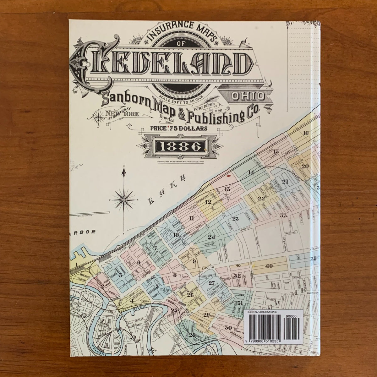
This volume is a complete, full-color facsimile of Volume 1 of the Sanborn fire insurance map survey of Cleveland, Ohio, first issued in 1886 — the opening volume of the three-volume 1886–1887 survey of the city. It reproduces the entire volume as bound: the index sheet, the double-page key map, and all forty double-page plates (83 sheets in all), printed in full color from the Library of Congress master scans of the original color-washed sheets.
Volume 1 covers the heart of 1880s Cleveland: the downtown core surrounding Public Square, the business blocks of the central district, and the industrial Flats along the Cuyahoga River — the warehouses, mills, lumber yards, docks, and railroad grounds that made Cleveland one of the great manufacturing cities of the Gilded Age. Each plate maps the city block by block at large scale, showing the footprint of every building with its construction material indicated by color, along with street names and widths, lot lines, building heights and uses, business and factory names, and fire-protection details such as hydrants and water mains. The key map at the front locates every block on its plate, so a single address can be traced to the building as it stood in 1886 — a decade before the Arcade and Euclid Avenue's Millionaires' Row reached their peak, and while the river valley still ran on steam and rail.
An essential reference for genealogists, house historians, urban researchers, and collectors of Cleveland and Ohio history. Volumes 2 and 3, completing the 1886–1887 survey, are available separately.
84 pages. 8.5" x 11.25". Full color. Paperback.
Satisfaction guaranteed or you can send it back!