ExileBooks
1887 Fire Insurance Maps and Atlas of Indianapolis, Indiana, Volume 1
1887 Fire Insurance Maps and Atlas of Indianapolis, Indiana, Volume 1
Couldn't load pickup availability
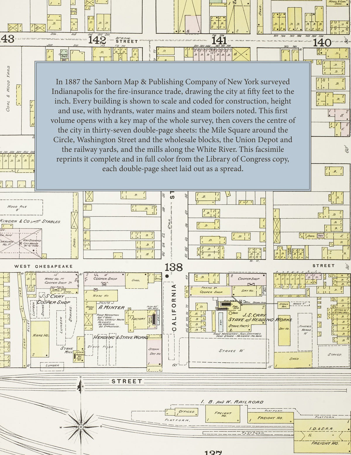
In 1887 the Sanborn Map & Publishing Company of New York surveyed Indianapolis, Indiana, for the fire-insurance trade, drawing the city at fifty feet to the inch. Every building is shown to scale and color-coded for construction, with its height, use, occupant and hazards noted, alongside the hydrants, water mains and steam boilers that protected it. This first volume opens with a key map of the whole survey, then covers the centre of the city in thirty-seven double-page sheets: the Mile Square around Monument Circle, Washington Street and the wholesale blocks, the Union Depot and the railway yards, the packing houses and mills along the White River, and the residential streets spreading south and east.
This edition is an unabridged facsimile republication of Volume One of the 1887 Indianapolis survey, reproduced complete and in full color from the copy held by the Geography and Map Division of the Library of Congress: the key map and all thirty-seven numbered sheets, each double-page plate laid out as a two-page spread. Volume Two is published separately.
78 pages. 8.5" x 11". Full color. Paperback.
Printed to order and shipped directly to you — please allow up to 7 business days before shipment.
Satisfaction guaranteed or you can send it back!