ExileBooks
1888 Atlas of the City of New Haven, Connecticut
1888 Atlas of the City of New Haven, Connecticut
Couldn't load pickup availability
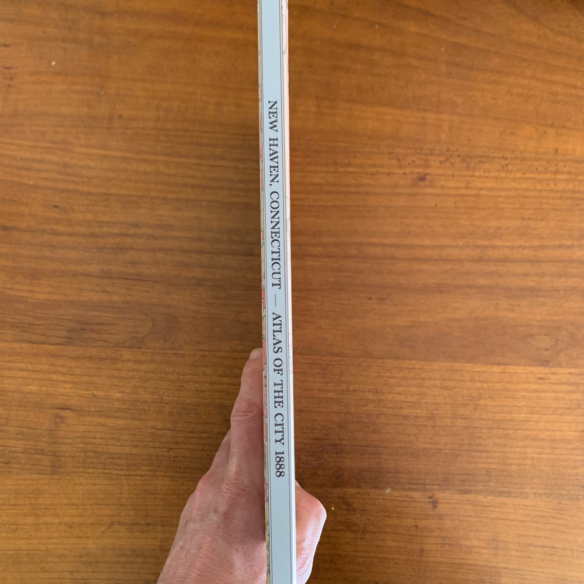
Atlas of the City of New Haven, Connecticut was compiled from the triangulations, surveys and maps of the City Engineer's Department and published by G. M. Hopkins of Philadelphia in 1888, under a contract with the City of New Haven through its Special Committee on City Maps. This edition is a complete facsimile, printed in full color, so the hand-colored plates and every page of the original are reproduced as issued.
A city property atlas is the most detailed map a nineteenth-century city ever got. After the index and ward map come forty-three plates covering New Haven block by block at a scale large enough to draw every building in its own footprint, colored by construction so that brick and frame can be told apart at a glance, with lot lines and dimensions, owners' names, street names and house numbers, churches, schools, factories, wharves and railroads. Four whole-city plates follow: the sewer map, the water map, the gas map and the chart of New Haven harbor with its wharf schedule.
The plates take in the whole city as it stood in 1888: the Green and the Yale College grounds, the business blocks along Chapel, Church and State Streets, Wooster Square, the Hill, Fair Haven and the Quinnipiac, Westville and the West River, Long Wharf and the harbor front, the railroad yards and the carriage, clock, hardware and arms factories that made New Haven an industrial city.
An essential reference for genealogists, house historians, preservationists, and collectors of New Haven history.
98 pages. 8.5" x 11.25". Full color. Hardcover.
Satisfaction guaranteed or you can send it back!