1889 Fire Insurance Maps & Atlas of Providence, Rhode Island, Volume 2
1889 Fire Insurance Maps & Atlas of Providence, Rhode Island, Volume 2
Couldn't load pickup availability
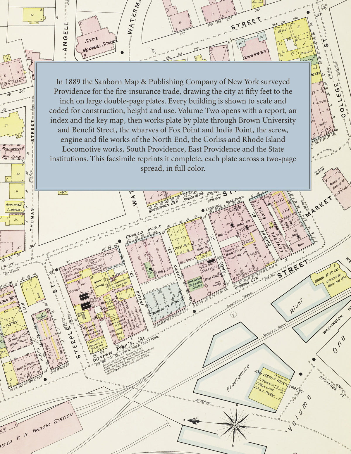
Facsimile of the second volume of the 1889 Sanborn fire-insurance atlas of Providence, Rhode Island, reproduced in full color from the Library of Congress copy. Volume Two covers the city around the downtown of Volume One: the east side from Brown University and Benefit Street down to Fox Point and India Point, the North End along North Main Street and Charles Street on the Moshassuck and Woonasquatucket, Smith and Chalkstone Streets, South Providence along Eddy Street, Allens Avenue and Broad Street, East Providence across the Seekonk, and outlying works and institutions.
The thirty-five plates work block by block from the stores, offices, halls and hotels along North Main Street, Canal Street, Benefit Street, Smith Street and Eddy Street - the State House, the Arsenal, Brown University, the Athenaeum Library, the Historical Society, the State Normal School, Roger Williams' House, Infantry Hall, Dramatic Hall, the Hope Club, the Rhode Island Hospital Trust Company, the Mansion House, Howard House and the American, Central, Clarendon, College Street and Bristol hotels - through the Union Railroad depot, the New York, Providence & Boston freight station and round house, the Providence & Worcester depot and locomotive house, the Lonsdale and Ives wharves, the Fall River, Continental, Winsor Line and Providence & Stonington steamship wharves, the Providence Dry Dock & Marine Railway, the American Screw Company's Bay State, Eagle and New England mills, the Corliss Steam Engine Company, the Harris and Providence steam-engine works, the Rhode Island Locomotive Works, the Franklin Machine Company, the Fuller and Phoenix iron works, the Rhode Island Tool Company, the Household Sewing Machine Company, the Davol Rubber Company, the Rumford Chemical Works, Allen's Print Works, the Silver Springs and Rhode Island bleach and dye works, the Geneva and Thornton worsted mills, the Narragansett Electric Light Company and the Providence Gas Company, to the Home for Aged Women, the Providence Lying-in Hospital, St. Aloysius' Orphan Asylum, the State Prison and the State Reform School, the First Baptist Church, the Church of the Holy Name, the Immaculate Conception, St. Joseph's, St. Michael's and St. Patrick's Catholic churches, St. Stephen's and St. John's Episcopal churches, the synagogue on Friendship Street, Narragansett Park and the Narragansett Boat Club, and the residential streets of the east side, the North End, South Providence and East Providence.
In 1889 the Sanborn Map & Publishing Company of New York surveyed Providence for the fire-insurance trade, drawing the city at fifty feet to the inch on large double-page plates. Every building is shown to scale and color-coded for construction (yellow for frame, pink for brick, blue for stone), with heights, uses, windows, party walls, hydrants, water mains and fire stations all marked. The index lists every street in this volume and every named mill, works, church, school and hotel with the plate it appears on, and the double-page key map places the colored plate grid around the downtown of Volume One, from North Burial Ground to the harbor and East Providence.
This Tangletown Press edition is an unabridged facsimile republication of the atlas: the report and index sheet, the double-page key map with the title, and all thirty-five numbered double-page plates (40 to 74, numbered on from Volume One), each reproduced across a two-page spread. Ideal for local historians, genealogists, architects, preservationists and anyone tracing a Providence address back to 1889.
74 pages. 8.5" x 11". Full color. Paperback.
Printed to order and shipped directly to you — please allow up to 7 business days before shipment.
Satisfaction guaranteed or you can send it back!