1890-1915 Fire Insurance Maps and Atlas of Amityville, New York
1890-1915 Fire Insurance Maps and Atlas of Amityville, New York
Couldn't load pickup availability
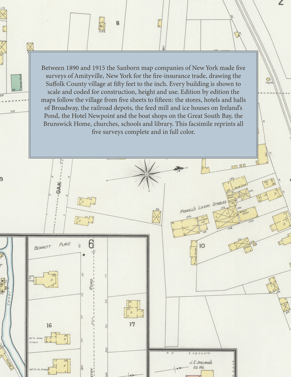
Facsimile of the five Sanborn fire-insurance surveys of Amityville, New York, made between 1890 and 1915, reproduced in full color from the Library of Congress copies. Together they cover the Suffolk County village on the Great South Bay: the stores, hotels and halls of Broadway on both sides of the Long Island railroad, Park Avenue, Greene Avenue and Main Street, the mills, ice houses and boat shops by Ireland's Pond and the creeks, and the residential streets out to the Nassau County line and the bay shore.
In 1890 five sheets and a key map show Broadway and Park Avenue either side of the Southern R. R. of Long Island and its station, the Brunswick Home and Louden Hall, J. E. Ireland's feed mill, C. Wood's planing mill, the Bay Side, King's and Wright's hotels, C. Schmit's bottling works, the Suffolk County Bottling Co., the Methodist Episcopal Church and the public school. The six sheets of 1897 add Liberty Hall, Lyceum Hall, the Long Island Home, Powell's Livery Stables, the Hotel Newpoint on the Great South Bay, Ireland's grain warehouse and J. E. Ireland's feed mill and ice house on Ireland's Pond, Deecke & Schlegelmilch's factory, J. Hartman's bottling works, C. Wood's lumber yard and the Amityville Elec. Light & Water Co. In 1904 the Sanborn Map Company redraws the town on six sheets with the Oechsle House and the hose and hook and ladder houses. The ten sheets of 1910 reach the L. I. R. R. depot, the Amity Inn, Hathaway Inn and Sinclair House, the Amityville Club House, the Post Office, Public Library and school, St. Martin's R. C. Church and St. Mary's Episcopal Church, Heinley's brick, lumber and coal yard, Hulse & Wood's lumber yard, R. J. Ireland's feed mill, Welz & Zerweck's ice plant, the Standard Oil Co. and F. E. Wicks, boat builder. In 1915 fifteen sheets show the Alexandra Hotel, Holze's Hotel, the Narragansett and New Amity inns, the Lyceum Dance Hall and Fraternity Hall, the Gilbert Rod and Gun Club House, the First and North Methodist Episcopal churches, the Chemical, Dauntless and No. 1 hose companies, the Long Island Lighting Co.'s electric light plant, the Water Works Co., the Huntington R. R. car barn, the Telephone Exchange, the boat shops of W. J. Ketcham, W. Purdy, F. E. Weeks and C. Yeswoit, the Portland greenhouses and the Wood Lumber Co.
Between 1890 and 1915 the Sanborn map companies of New York made five surveys of Amityville for the fire-insurance trade, drawing the village at fifty feet to the inch. Every building is shown to scale and color-coded for construction (yellow for frame, pink for brick, blue for stone), with heights, uses, hydrants and water pipes all marked. Each edition has an index of named businesses, hotels, churches and schools and a key map of the whole village, and a divider page introduces each edition.
This Tangletown Press edition is an unabridged facsimile republication of the atlas: all forty-two map sheets of the five editions of 1890, 1897, 1904, 1910 and 1915, with the indexes and key maps of every edition, each edition introduced by a divider page. Ideal for local historians, genealogists, architects, preservationists and anyone tracing a Amityville address back to 1890-1915.
50 pages. 8.5" x 11". Full color. Paperback.
Printed to order and shipped directly to you — please allow up to 7 business days before shipment.
Satisfaction guaranteed or you can send it back!