ExileBooks
1891 Atlas of Bucks County, Pennsylvania
1891 Atlas of Bucks County, Pennsylvania
Couldn't load pickup availability
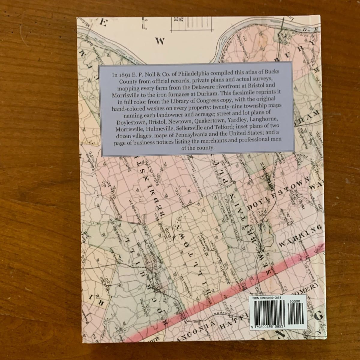
This is a facsimile reprint of the Atlas of Bucks Co., Penna., compiled from official records, private plans and actual surveys, and published by E. P. Noll & Co. of Philadelphia in 1891. The atlas is reproduced in full color from the Library of Congress copy, preserving the original hand-colored washes that tint every farm and lot on the township maps.
Bucks County in 1891 still stretched from the Delaware riverfront towns of Bristol and Morrisville to the iron furnaces at Durham and the rolling farmland of the upper county, and this atlas maps all of it at large scale. Twenty-nine township maps name the owner and acreage of every property and mark the roads, creeks, mills, schools, churches, post offices, railroads, and canals: Bensalem, Bristol, Buckingham, Bedminster, Bridgeton, Doylestown, Durham, Falls, Hilltown, Haycock, Lower Makefield, Middletown, Milford, Newtown, New Britain, Northampton, Nockamixon, Plumstead, Rockhill, Richland, Southampton, Solebury, Springfield, Tinicum, Upper Makefield, Wrightstown, Warrington, Warwick, and Warminster. Street and lot plans cover the boroughs of Bristol, Doylestown, Hulmeville, Langhorne, Langhorne Manor, Morrisville, Newtown, Quakertown, Sellersville, Telford, and Yardley, and inset plans show the villages of Blooming Glen, Bridgeton, Centreville, Dublin, Durham, Durham Furnace, Erwinna, Fallsington, Ferndale, Gallows, Kintnersville, Lawndale, Lennensburg, Morgantown, New Britain, Newportville, Passer, Penn's Park, Pleasant Valley, Riegelsville, Springtown, and Tullytown.
The volume opens with a two-page map of Bucks County, a map of Pennsylvania, Gray's map of the United States, a chart ranking the states and territories over ten decades, and tables of the population of the United States from the 1880 and 1890 censuses. A page of business notices lists the attorneys, physicians, hotel keepers, merchants, millers, and manufacturers of Doylestown, Bristol, Newtown, Hulmeville, Yardley, Morrisville, Telford, Quakertown, Nockamixon, Tinicum, and Sellersville, with a short history of the founding of Morgantown.
For genealogists it shows where a Bucks County ancestor's farm stood and who owned the land around it; for house historians it records the lots, streets, and property lines of the boroughs a century before the suburbs filled in. It is an essential reference for genealogists, house historians, and collectors of Bucks County and Philadelphia-area history.
76 pages. 8.5" x 11.25". Full color. Hardcover.
Satisfaction guaranteed or you can send it back!