1892 Fire Insurance Maps and Atlas of Lowell, Massachusetts
1892 Fire Insurance Maps and Atlas of Lowell, Massachusetts
Couldn't load pickup availability
The complete 1892 Sanborn fire-insurance atlas of Lowell, Massachusetts, reprinted in full color. It covers Lowell, Pawtucketville, Centralville, the Highlands, Ayer's City and North Chelmsford, from the downtown blocks out to the city limits.
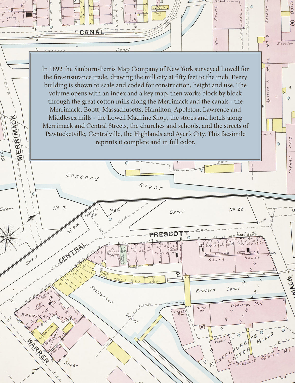
The sixty-eight numbered sheets work block by block from the stores, banks, hotels and blocks along Merrimack, Central, Middlesex and Market Streets - the City Hall and Memorial Hall, the Court House and Jail, the Bon Marche, the American House, Bay State, Merrimack, Farragut and Franklin hotels, the Opera House, Wyman's Exchange, Barristers Hall, Runels Building and Russell's Block and the Y. M. C. A. - through the great mills along the Merrimack and the Pawtucket, Merrimack, Hamilton, Eastern and Western canals: the Merrimack Manufacturing Company, the Boott Cotton Mills, the Massachusetts, Hamilton, Appleton, Lawrence, Tremont & Suffolk and Middlesex mills, the Lowell Machine Shop, the Lowell Bleachery and Dye Works, the Kitson Machine Company, the American Bobbin, Spool & Shuttle works, the Lowell Hosiery, Belvidere Woolen, Faulkner, Walsh Worsted, Sterling Woolen and Whittier Cotton mills, the United States Bunting and Cartridge companies, the White Brothers and Gates tanneries and the Moxie Nerve Food works - the Boston & Maine depot, freight house, locomotive house and round house, the Lowell & Suburban street railway power plant, the City Institutions and hospitals, the St. Jean Baptiste, St. Patrick's, Immaculate Conception and St. Peter's churches, the schools and convents, to the residential streets of Pawtucketville, Centralville, the Lowell Highlands and Ayer's City, and the Abbot Worsted mills at Graniteville and Forge Village and the Adams Hotel at North Chelmsford.
In 1892 the Sanborn-Perris Map Company of New York surveyed Lowell for the fire-insurance trade, drawing the city at fifty feet to the inch. Every building is shown to scale and color-coded for construction (yellow for frame, pink for brick, blue for stone), with heights, uses, windows, party walls, hydrants, water mains and fire stations all marked. The index lists every street and every named business, church, school, hotel, mill and works with the sheet it appears on, and the key map places the colored sheet grid over the whole city.
This edition is an unabridged facsimile republication of the atlas: the title and index sheet, the key map and all sixty-eight numbered map sheets. Ideal for local historians, genealogists, architects, preservationists and anyone tracing a Lowell address back to 1892.
72 pages. 8.5" x 11". Full color. Paperback.
Printed to order and shipped directly to you — please allow up to 7 business days before shipment.
Satisfaction guaranteed or you can send it back!