1893-1920 Fire Insurance Maps and Atlas of Gas City, Indiana
1893-1920 Fire Insurance Maps and Atlas of Gas City, Indiana
Couldn't load pickup availability
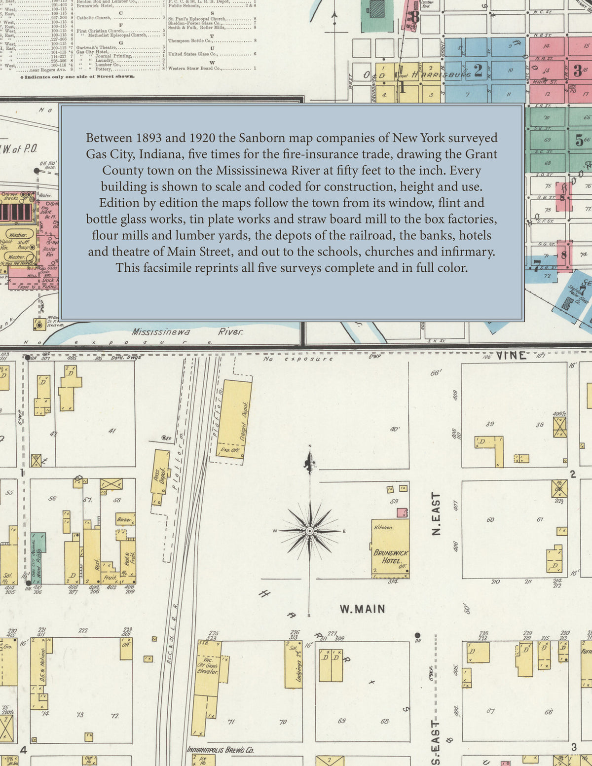
Facsimile of the five Sanborn fire-insurance surveys of Gas City, Indiana, made between 1893 and 1920, reproduced in full color from the Library of Congress copies. Together they cover the Grant County town on the Mississinewa River: the business blocks of Main Street and the residential streets of the old town of Harrisburg, Harris's First Addition, Glyncoed and the Seventh and Sixth additions, the depots along the P. C. C. & St. L. R. R., and the glass works, tin plate works, box factories and mills of the town.
In August 1893 five sheets show the young boom town: the Almerian Glass Works, the American Window Glass Co., Thompson's Glass Co., the Marion Flint Glass Co., the United States Glass Co., the Morewood Co.'s Tin Plate Works, the Western Straw Board Co., Bruce & Marks M'f'g Co., the Gas Belt Lumber Co., Gas City Heading Co. and W. A. Leach's planing mill, with the P. C. C. & St. L. R. R. depot, the Indianapolis Brewing Co.'s depot, the Mississinnewa Hotel, the Public School and the Catholic and Methodist churches. By December 1898 the maps add the Marietta Glass Co., the Sheldon-Foster Glass Co., Thompson Bottle Co., the Indiana Edge Tool Co., Benton Box and Lumber Co., Smith & Fulk's roller mills, the Marion Ice and Cold Storage Co., the Gas City Water Works & Elec. L. Plant, Gartwait's Theatre, the Brunswick and Gas City hotels, the Gas City Pottery and Journal Printing office, the Grant County Infirmary and St. Paul's Episcopal Church. The 1904 survey draws the Diamond Window Glass Co., the Novelty Glass M'f'g Co., Keefer Mould Works, Pittsburg Folding Box Co., Zombro Box Co., Custer Lumber Co., Holmes Bros.' flour mill, Rademaker & Son's bottling works and the Queen, Shamrock, Twin City and Homestead hotels. In 1911 come the Airdome and Skating Rink, the Fire Department and Jail, the First National Bank Building, the Morgan Block, the Post Office, L. R. Lindley's box factory, J. S. Lowe & Son's feed mill, the Davy Jones Coal Co. and the Holy Family Catholic Church, and the 1920 edition reaches the Illinois Glass Co.'s Thompson Plant, the U. S. Glass Co.'s Factory "U" making tableware, the Gas City Elevator Co., Sanitary Mills, the Lindley Box and Paper Co., the Avalon Hotel, the Public Library, the Ward Public School and Zion Mission.
Between 1893 and 1920 the Sanborn map companies of New York surveyed Gas City five times for the fire-insurance trade, drawing the town at fifty feet to the inch (the 1920 edition by its scale bars). Every building is shown to scale and color-coded for construction (yellow for frame, pink for brick, blue for stone), with heights, uses, furnaces, kilns and machinery, hydrants, water pipes and fire stations all marked. Each edition opens with a key map of the town and an index of its streets and named factories, churches, schools and hotels, and a divider page introduces each edition.
This edition is an unabridged facsimile republication of the atlas: all forty-three map sheets of the five editions of 1893, 1898, 1904, 1911 and 1920, with the index and key map of each edition, each edition introduced by a divider page. Ideal for local historians, genealogists, architects, preservationists and anyone tracing a Gas City address back to 1893-1920.
50 pages. 8.5" x 11". Full color. Paperback.
Printed to order and shipped directly to you — please allow up to 7 business days before shipment.
Satisfaction guaranteed or you can send it back!