1893-1921 Fire Insurance Maps and Atlas of Hingham, Massachusetts
1893-1921 Fire Insurance Maps and Atlas of Hingham, Massachusetts
Couldn't load pickup availability
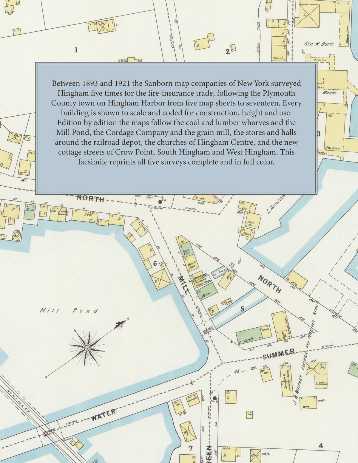
Facsimile of the five Sanborn fire-insurance surveys of Hingham, Massachusetts, made between 1893 and 1921, reproduced in full color from the Library of Congress copies. Together they cover the Plymouth County town on Hingham Harbor: the coal and lumber wharves and the Mill Pond, the stores and halls of North, South and Main streets around the railroad depot, Hingham Centre and Downer Landing, and from 1911 the cottage streets of Crow Point, South Hingham and the Cohasset line, with Lower Plain, Bakers Hill and West Hingham in 1921.
In 1893 five sheets show the Hingham Cordage Co., the N. Y. N. H. and H. R. R. depot, Loring Hall, the Cushing and Rose Standish hotels, the Nantasket Beach Steamboat Co. and Whiton Pier, G. W. Burr's and L. Thompson's coal wharves, the lumber yards of J. W. Whitney and Wilder and Kimball, B. Andrews' grist mill, Burr, Brown and Co.'s tassel factory, A. J. Sprague's wooden ware factory, and St. Paul's, the Baptist, Methodist Episcopal, Unitarian and New North churches. The 1898 survey adds the Public Library, the First Parish and Universalist churches, the Hingham Cordage Co. St. R'y Plant and F. W. Burrell's saw, planing and grist mill. In 1903 come the Hingham High School, the Old Colony St. R'y Co. car barn, J. V. Dennett's furniture factory, G. E. Kimball's lumber yards and the Pope Memorial Church. The 1911 edition shows the Agricultural or Town Hall, the Boston Spiral Tagging Co.'s shoe lacing factory, the Shawmut M'f'g Co.'s leatherette factory, the Hingham Grain Mill, Knitting Co., Yacht Club and Wet Wash Laundry, the Wompatuck Club, Wilder Memorial Hall, the Centre School, the G. A. R. Memorial Hall and the Church of St. John the Evangelist, and in 1921 the Town Offices, Derby Academy, Lincoln School, R. T. Jones' toy and novelty factory, Rhodes Ripley Clothing Co., W. F. Skilton's braiding mill, the Village Corporation bath houses, the Girl Scouts Club House, the garages of Hingham Centre and the U. S. Government naval magazines at West Hingham.
Between 1893 and 1921 the Sanborn map companies of New York surveyed Hingham five times for the fire-insurance trade, drawing the town at fifty feet to the inch. Every building is shown to scale and color-coded for construction (yellow for frame, pink for brick, blue for stone), with heights, uses, wharves, railroad tracks, hydrants and water pipes all marked. Every edition has an index of named businesses, mills, churches, schools and halls and a key map of the town, and a divider page introduces each edition.
This Tangletown Press edition is an unabridged facsimile republication of the atlas: all fifty-two map sheets of the five editions of 1893, 1898, 1903, 1911 and 1921, with the index and key map of every edition, each edition introduced by a divider page. Ideal for local historians, genealogists, architects, preservationists and anyone tracing a Hingham address back to 1893-1921.
60 pages. 8.5" x 11". Full color. Paperback.
Printed to order and shipped directly to you — please allow up to 7 business days before shipment.
Satisfaction guaranteed or you can send it back!