ExileBooks
1893 Detailed Official Atlas of Wayne County, Michigan
1893 Detailed Official Atlas of Wayne County, Michigan
Couldn't load pickup availability
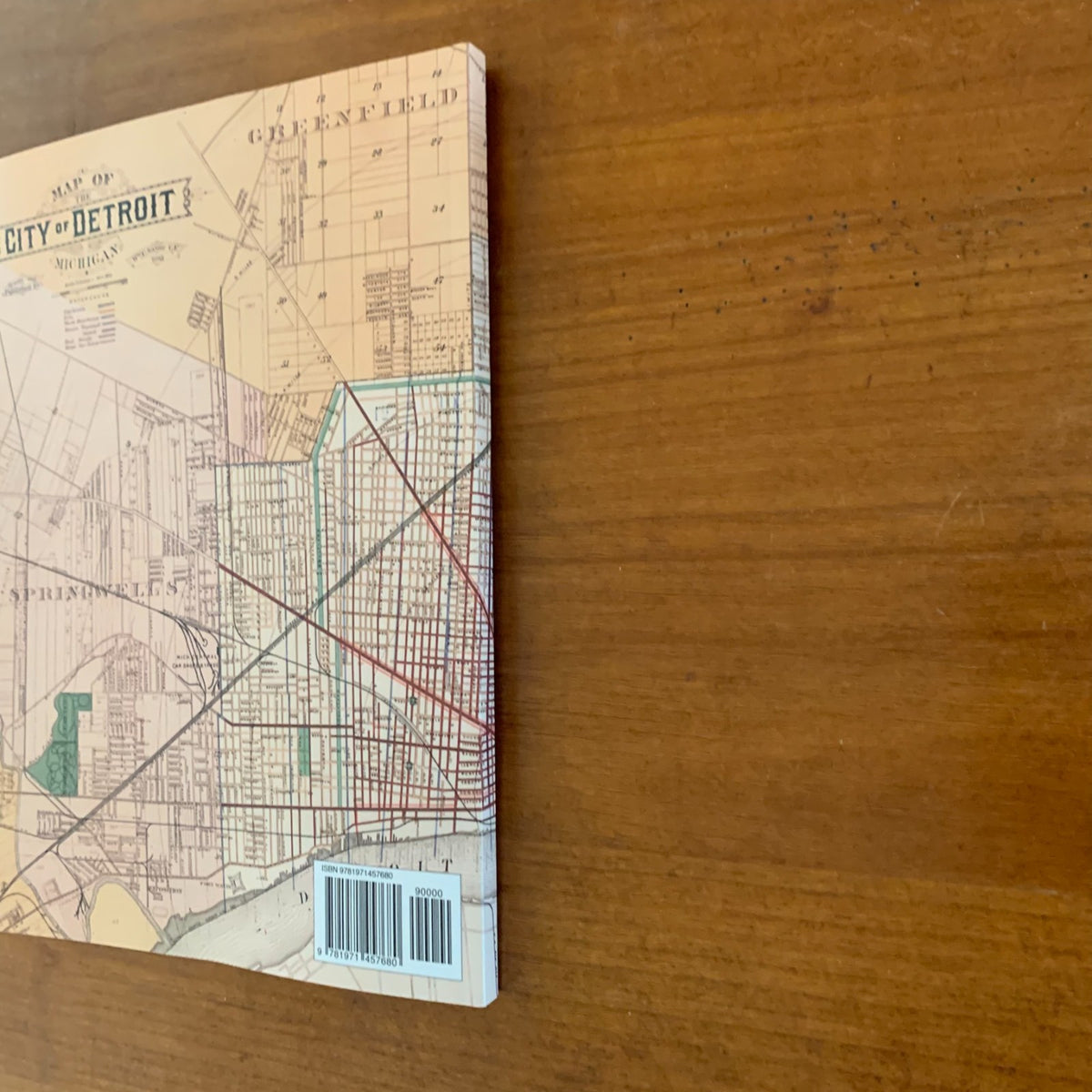
A color facsimile reprint of the Detailed Official Atlas of Wayne County, Michigan, compiled and drawn from authentic records and private surveys by W. C. Sauer, C.E., engraved by Henry Rueger, and copyrighted and published by Wm. C. Sauer of Detroit in 1893. Printed by the Detroit Lithographic Company, the atlas was compiled in accordance with directions from the Wayne County Board of Supervisors and drew on the records of historian Clarence M. Burton. This historic plat book documents land ownership and settlement across Wayne County at the close of the nineteenth century.
The atlas contains general maps of Wayne County and the City of Detroit, township maps on a scale of two and a half inches to the mile showing land areas and owners' names, railroads, wagon roads, streams, school houses and districts, churches, and cemeteries, along with detailed plats of the City of Wyandotte and interior villages, and detail plats of recorded subdivisions and additions in the county outside the 1891 Detroit city limits.
Coverage includes:
- Township plats — Brownstown, Canton, Dearborn, Ecorse, Greenfield, Grosse Pointe, Hamtramck, Huron, Livonia, Monguagon, Nankin, Plymouth, Redford, Romulus, Springwells, Sumpter, Taylor, and Van Buren
- Villages and cities — Detroit, Wyandotte (northern and southern portions), Belleville, Dearborn, Dentons, Flat Rock, Gibralter, Hand Station, New Boston, North Detroit, Northville, Plymouth, Rawsonville, Rockwood, Romulus, Trenton, South Trenton, Waltz, Wayne, and Willow
- Detailed subdivision plats — covering Ecorse, Greenfield (including the Ten Thousand Acre Tract), Grosse Pointe, Hamtramck, Springwells, North Detroit, the Shipyard Tract, and the Detroit Addition of 1891, with maps of original private claims
The atlas also includes a street directory of the City of Detroit, an extensive Index to Subdivisions listing subdivision names, descriptions, owners, and the year each was platted, and an introductory essay on the early settlement and survey history of the county.
This reprint is reproduced in full color from a digitized public-domain original. It is offered for genealogists and family-history researchers, local and regional historians, land and property researchers, map collectors, and anyone studying the settlement and development of Wayne County and metropolitan Detroit.
144 pages. 8.5" x 11". Color paperback.