1894-1912 Fire Insurance Maps and Atlas of Reynoldsville, Pennsylvania
1894-1912 Fire Insurance Maps and Atlas of Reynoldsville, Pennsylvania
Couldn't load pickup availability
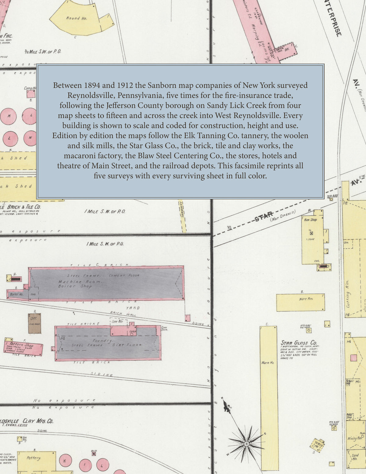
Facsimile of the five Sanborn fire-insurance surveys of Reynoldsville, Pennsylvania, made between 1894 and 1912, reproduced in full color from the Library of Congress copies. Together they cover the Jefferson County borough on both banks of Sandy Lick Creek and, from 1906, West Reynoldsville, from the stores, hotels and churches of Main Street to the tannery, woolen and silk mills, glass works, brick and tile works and railroad yards on the edge of town.
The four sheets of November 1894 show Main, Jackson and Grant streets from First Street to Tenth, the Allegheny Valley R. R. depot, the Arnold Block, Nolan Block, Star Building and opera house, the Reynoldsville Machine Shop and Woolen Mill, and an inset of the Reynoldsville Tannery of the Elk Tanning Co., a mile and a half from the post office, with its bark sheds, leach house and yards. The seven sheets of 1896 add the Burns Hotel, the Deible Bros. wagon factory and the planing mills of Alman, Shields & Co. and R. H. Wilson; by September 1901 eight sheets bring in the American Silk Co. and Enterprise Silk Mill, the Star Glass Co., the R. & F. C. R. R. depot, J. V. Young's planing mill and lumber yard and the Reynoldsville Elec. Light Co. The thirteen sheets of March 1906 cross Sandy Lick Creek to Broadway and Brown Street and reach the Jefferson Macaroni Factory, the Reynoldsville Brick & Tile Co. kilns, the Penn. Industrial Wks. foundry, the Reynoldsville Clay Mfg. Co. pottery, the Reynoldsville Distilling Co., the Sykes Woolen Mill, J. W. Hunter & Bro.'s feed mill and the Catholic church and school. The 1912 edition, its title naming West Reynoldsville, adds the Blaw Steel Centering Co., the Woodwork Supply Co., the Manufacturers Silk Co., the Pennsylvania Burial Case Co., T. E. Evans's tile works, the P. R. R. depots and round house, the Jefferson Traction Co. car barn, the Adelphi Theatre, St. Mary's church and school and the West Reynoldsville Public School.
Between 1894 and 1912 the Sanborn map companies of New York surveyed Reynoldsville five times for the fire-insurance trade, drawing the town at fifty feet to the inch. Every building is shown to scale and color-coded for construction (yellow for frame, pink for brick, blue for stone, gray for iron), with heights, uses, mill machinery, kilns, railroad sidings, hydrants and water pipes all marked. Each edition opens with a key map and an index of streets and of named works, churches, schools and hotels, and a divider page introduces each edition.
This Tangletown Press edition is an unabridged facsimile republication of the atlas: all forty-six surviving map sheets of the five editions of 1894, 1896, 1901, 1906 and 1912 (sheet 13 of 1912 wanting), with the key maps and indexes, each edition introduced by a divider page. Ideal for local historians, genealogists, architects, preservationists and anyone tracing a Reynoldsville address back to 1894-1912.
54 pages. 8.5" x 11". Full color. Paperback.
Printed to order and shipped directly to you — please allow up to 7 business days before shipment.
Satisfaction guaranteed or you can send it back!