1894-1921 Fire Insurance Maps and Atlas of Buena Vista, Virginia
1894-1921 Fire Insurance Maps and Atlas of Buena Vista, Virginia
Couldn't load pickup availability
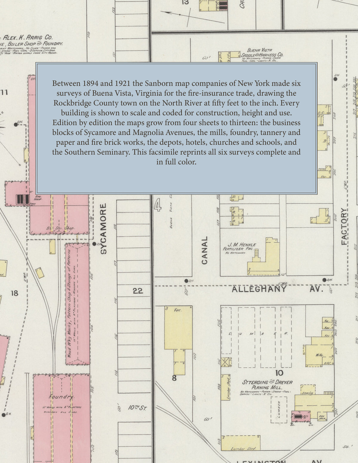
Facsimile of the six Sanborn fire-insurance surveys of Buena Vista, Virginia, made between 1894 and 1921, reproduced in full color from the Library of Congress copies. Together they cover the Rockbridge County town on the North River from 1894 to 1921: the stores and business blocks of Sycamore and Magnolia Avenues about 21st Street, the mills, foundry and works along the canal, Factory Street and Alleghany Avenue, the depots of the railroads, and the residential streets out to Forest Avenue, Beech Avenue and Laurel Park.
In March 1894 four sheets show the Buena Vista Casimere Mills, the Buena Vista Glass Co.'s glass works, the Buena Vista Light & Power Co.'s electric light station, the Buena Vista Saddle & Harness Co., the Buena Vista Wagon Works, the Alex. K. Rarig Co.'s machine, boiler shop and foundry, J. M. Henkle's fertilizer factory, W. N. Seay & Son's planing mill, the Marr Egg Crate Co., Merchants Mills, the N. & W. R. R. depot and the Richmond & Alleghany R. R., the City Hotel, Hotel Colonnade and Opera House, the public school and the Young Ladies' College. The 1899 and 1904 editions each run to six sheets. By 1908 seven sheets take in the Southern Seminary and the Dickinson Fire Brick Co.'s works a mile north-east of the post office, and the January 1915 survey adds Buena Vista Mills, Inc., flour mills and the Columbian Paper Company. In August 1921 thirteen sheets name the Alleghany Ore and Iron Co., the Armour Fertilizer Works, Leas & McVitty, Inc.'s Blue Ridge Tannery and Buena Vista Extract Co., the Buena Vista Foundry Co., Furnace, Ice and Coal Co., Saddle Tree Co. and Silk Co., the Embree Co., Farmers' & Merchants Mills, the Shewey Supply Co., the Virginia-Western Power Co.'s electric power plant, the C. & O. and N. & W. depots and Union Passenger Depot, the Post Office, Town Hall, Jail and Fire Department, the Hotel Marlbrook, Jefferson Hotel and Southern Pride Hotel, the Southern Seminary for Young Ladies, the public school, and the Baptist, Brethren, Episcopal, Lutheran, Presbyterian, Roman Catholic and St. John's Methodist Episcopal churches.
Between 1894 and 1921 the Sanborn map companies of New York made six surveys of Buena Vista for the fire-insurance trade, drawing the town at fifty feet to the inch, with some 1915 and 1921 sheets at one hundred feet to the inch. Every building is shown to scale and color-coded for construction (yellow for frame, pink for brick, blue for stone), with heights, uses, mill machinery, hydrants and water pipes all marked. Each edition opens with a key map of the town and an index of named businesses, mills, churches, schools and hotels, and a divider page introduces each edition.
This Tangletown Press edition is an unabridged facsimile republication of the atlas: all forty-three map sheets of the six editions of 1894, 1899, 1904, 1908, 1915 and 1921, each edition's first sheet carrying its key map and index, each edition introduced by a divider page. Ideal for local historians, genealogists, architects, preservationists and anyone tracing a Buena Vista address back to 1894-1921.
52 pages. 8.5" x 11". Full color. Paperback.
Printed to order and shipped directly to you — please allow up to 7 business days before shipment.
Satisfaction guaranteed or you can send it back!