1894-1923 Fire Insurance Maps and Atlas of Davis, Oklahoma
1894-1923 Fire Insurance Maps and Atlas of Davis, Oklahoma
Couldn't load pickup availability
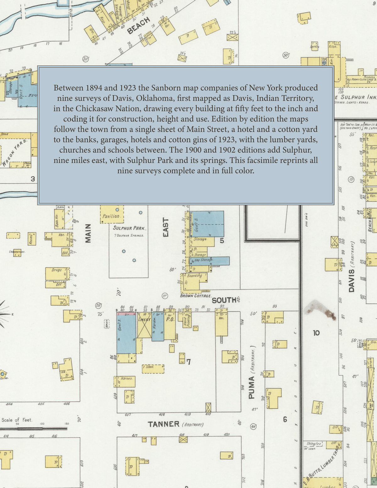
Facsimile of the nine Sanborn fire-insurance surveys of Davis, Oklahoma, made between 1894 and 1923, reproduced in full color from the Library of Congress copies. The 1900 and 1902 editions add a sheet of Sulphur, nine miles east of Davis, with Sulphur Park and its springs on Rock Creek and Sulphur Creek. At Davis the maps cover the business blocks of Main Street between First and Sixth, the residential streets of Benton, Davis, Ellis, Hanna and Atlanta Avenues, and the cotton yards, gins, lumber yards and depot along the G. C. & S. F. R. R.
The single sheet of March 1894 shows Davis, Indian Territory, in the Chickasaw Nation: a few blocks of East and West Main between First and Third, the Davis Hotel, Ed. Nelson's cotton gin, the Davis Cotton Yard and the depot on the G. C. & S. Fe. R. R. The editions of 1896 and 1898 add a key map and carry the town across Main, Davis, Ellis, Hanna and Atlanta streets. In May 1900 the town fills six sheets and an index, and a sixth sheet maps Sulphur, nine miles east of Davis. The January 1902 index lists the Allen Cottage Hotel, Commercial House and Tremont Hotel, Bullard's, Davis and O. K. cotton yards, the Davis Roller-mills, the cotton gins of T. H. Slover and R. A. Vaughn, H. C. Draughon & Sons' lumber, the public school and the Baptist, Christian, Cumberland Presbyterian and Methodist Episcopal churches; its Sulphur sheet shows Beach Avenue, the Harper Hotel, Sulphur Park with its pavilion and springs, bath houses, the White Sulphur Inn, the Beach Hotel, West Sulphur, the Sulphur Cotton Gin, E. A. Butts' and C. S. Leeper's lumber yards and the Star Wagon Yard. The editions of 1903, 1909 and 1914 return to Davis alone in five sheets. The June 1923 edition lists the America Hotel, the post office, the city water works and fire department, the Davis Gin Co., T. H. Slover's cotton gin, electric light and ice plant, R. A. Vaughn's cotton gin, the Waples-Painter Lumber Co., C. M. Mays' lumber yard, the depot of the G. C. & S. F. R. R., the Davis public schools and the Christian, Cumberland Presbyterian, First Baptist and First M. E. churches, with banks, garages, drug stores, a bottling works and motion pictures along Main Street.
Between 1894 and 1923 the Sanborn map companies of New York produced nine surveys of Davis for the fire-insurance trade, drawing the town at fifty feet to the inch (the 1914 and 1923 editions by their scale bars). Every building is shown to scale and color-coded for construction (yellow for frame, pink for brick, blue for stone), with heights, uses, cotton gins, lumber piles, wells and water pipes all marked. The later editions add an index of named businesses, churches, schools and hotels and a key map of the whole town, and a divider page introduces each edition.
This Tangletown Press edition is an unabridged facsimile republication of the atlas: all forty map sheets of the nine editions of 1894, 1896, 1898, 1900, 1902, 1903, 1909, 1914 and 1923, with the key maps and indexes printed on the first sheets and the Sulphur sheets of 1900 and 1902, each edition introduced by a divider page. Ideal for local historians, genealogists, architects, preservationists and anyone tracing a Davis address back to 1894-1923.
52 pages. 8.5" x 11". Full color. Paperback.
Printed to order and shipped directly to you — please allow up to 7 business days before shipment.
Satisfaction guaranteed or you can send it back!