ExileBooks
1895 Standard Atlas and Plat Book of Livingston County, Michigan
1895 Standard Atlas and Plat Book of Livingston County, Michigan
Couldn't load pickup availability
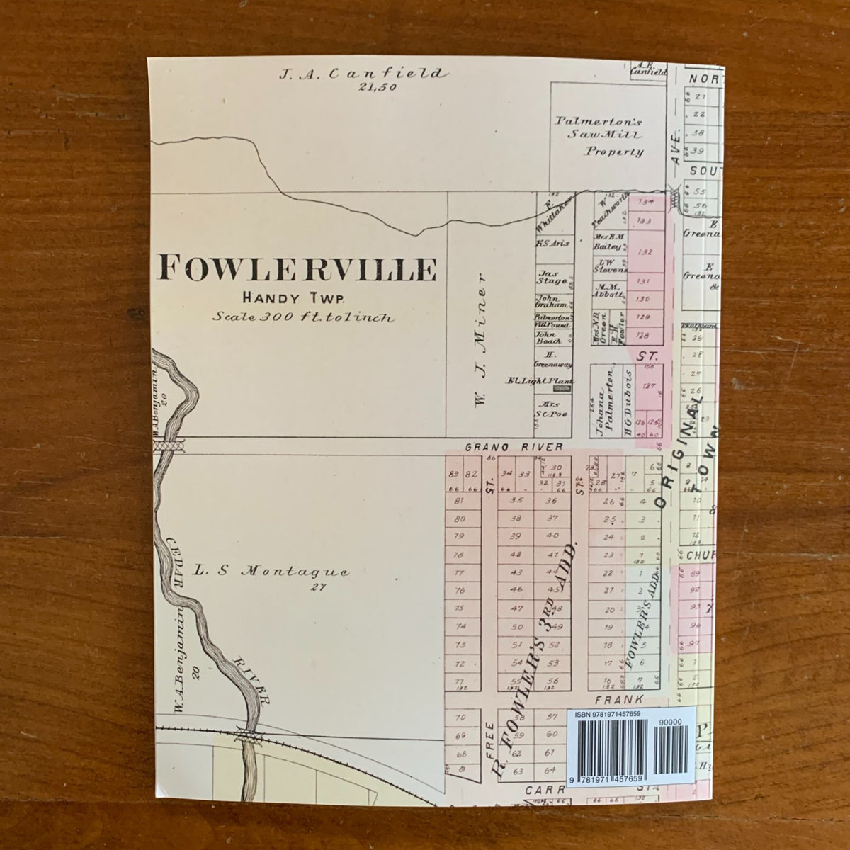
A color facsimile reprint of the Standard Atlas of Livingston County, Michigan, compiled and published in 1895 by Geo. A. Ogle & Co., Publishers & Engravers, of Chicago. This historic plat book documents land ownership and settlement across Livingston County in the late nineteenth century, providing a detailed record of the county's villages, cities, and townships.
The atlas includes plat maps of the following townships and communities:
- Townships — Brighton, Cohoctah, Conway, Deerfield, Genoa, Green Oak, Hamburg, Handy, Hartland, Howell, Iosco, Marion, Oceola, Putnam, Tyrone, and Unadilla
- Villages and communities — Brighton, Chemungville, Chilson, Cohoctah (and East Cohoctah), Deer Creek, East Unadilla, Fleming P.O., Fowlerville, Gregory, Hamburg, Hartland, Howell (east and west parts), Iosco P.O., Oak Grove, Parshallville, Pettysville, Pinckney, Plainfield, and Unadilla
Beyond the township plats, the atlas contains an outline map of Livingston County, a map of the State of Michigan, a map of the United States, and a map of the world. It also includes a Reference Directory of Livingston County, an analysis of the system of United States land surveys, a digest of the system of civil government, and a department of general information regarding banking and business methods.
This reprint is reproduced in full color from a digitized public-domain original. It is offered for genealogists and family-history researchers, local and regional historians, land and property researchers, map collectors, and anyone studying the settlement and development of Livingston County, Michigan.
8.5" x 11". Color. 54 pages.
Satisfaction guaranteed or you can send it back!