ExileBooks
1898 Atlas of the Geology of the Aspen District, Colorado
1898 Atlas of the Geology of the Aspen District, Colorado
Couldn't load pickup availability
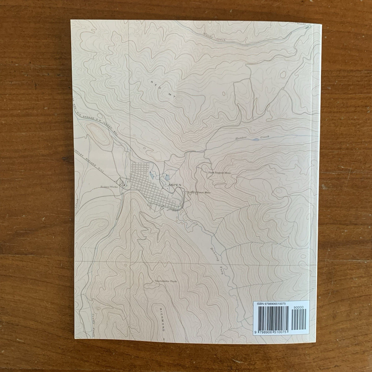
Published in Washington in 1898 by the United States Geological Survey under Director Charles D. Walcott, with lithography by Julius Bien & Co. of New York, this atlas accompanied Monograph XXXI on the geology of the Aspen District, Colorado — Josiah Edward Spurr's landmark study of one of the great silver camps of the Rockies, prepared with Samuel Franklin Emmons as geologist in charge. This edition is a complete, unabridged facsimile of all thirty sheets, with the original color lithography reproduced in full color.
The atlas descends through four scales of increasing detail: the Aspen Atlas Sheet at nearly a mile to the inch; the Aspen District sheets at half a mile to the inch; the Aspen, Tourtelotte Park, Hunter Park, and Lenado Special sheets at 800 feet to the inch; and the mining district sheets — Tourtelotte Park, Aspen Mountain, Smuggler Mountain, and Lenado — at 300 feet to the inch, their mine workings compiled from original mine maps furnished by the mine managers themselves. Each area is presented in paired topography and geology sheets, followed by vertical sections keyed to the maps, with the Leadville formation, its bedding faults, and the glacial drift of the valleys rendered in the strong color fills of the survey's lithography.
Produced at the close of Aspen's silver era, these sheets preserve the underground geography of the Smuggler and Aspen Mountain workings in government-survey precision.
An essential reference for mining historians, geologists, and collectors of Colorado and Western mining history.
36 pages. 8.5" x 11". Full color. Paperback.
Satisfaction guaranteed or you can send it back!