ExileBooks
1899 Atlas of Cape Ann Massachusetts (Gloucester)
1899 Atlas of Cape Ann Massachusetts (Gloucester)
Couldn't load pickup availability
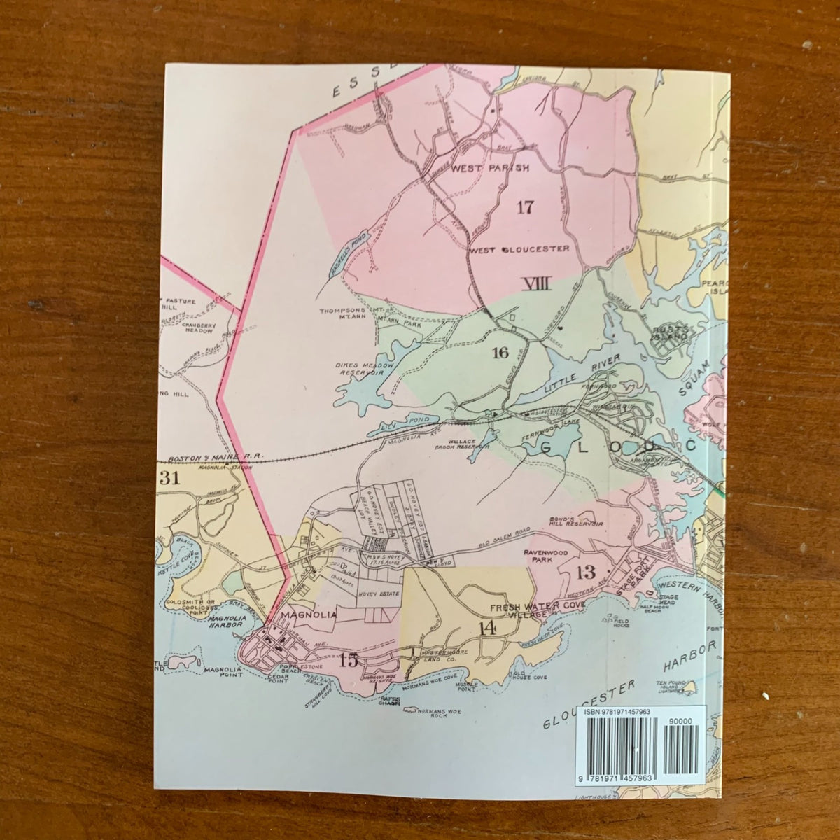
Published by Geo. W. Stadly & Co. of Boston in 1899, this atlas mapped all of Cape Ann — the city of Gloucester and the towns of Rockport and Manchester — from official plans and actual surveys. This edition is a complete, unabridged facsimile reproduced in full color from an original copy in the Boston Public Library.
Thirty-one plates cover the cape lot by lot, with individual parcels carrying their owners' names and a color key distinguishing stone, brick, and frame buildings, stables, water pipes, and hydrants. A full-cape index map and a separate index map of central Gloucester locate every plate, and a street index covers all three communities. The Gloucester plates record the great fishing port at its peak — the wharves of Harbor Cove and Fort Point, the Inner Harbor waterfront, East Gloucester, and Eastern Point — along with the villages of Annisquam, Lanesville, Bay View, Riverdale, and Magnolia. Rockport's plates take in the town center on Sandy Bay and Pigeon Cove, while Manchester's cover its harbor and shore. Electric street railway lines, the Boston & Maine Railroad, lighthouses, and the low-water line drawn from U.S. Government charts complete the picture of the cape at the century's close.
Because every plate names property owners at the level of the individual lot, this atlas allows researchers to trace who held a parcel in 1899, research a home or wharf property, and see Cape Ann's neighborhoods and waterfronts as they stood in the age of sail — an essential reference for genealogists, house historians, and collectors of Gloucester, Rockport, and Cape Ann history.
66 pages. 8.5" x 11". Full color. Paperback.
Satisfaction guaranteed or you can send it back!