ExileBooks
1901 Baltimore, Maryland Sanborn Fire Insurance Maps and Atlas, Volume One
1901 Baltimore, Maryland Sanborn Fire Insurance Maps and Atlas, Volume One
Couldn't load pickup availability
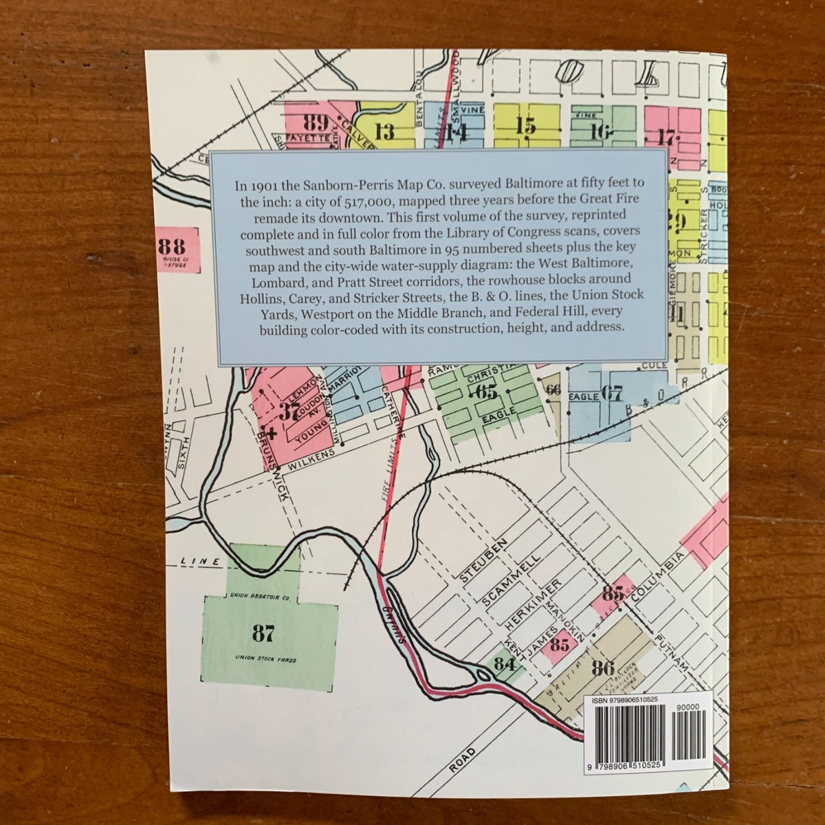
This edition is a complete, full-color facsimile of Insurance Maps of Baltimore, Maryland, Volume One, published by the Sanborn-Perris Map Co. of New York in 1901. The entire volume is reproduced in color: all 95 numbered street maps surveyed at 50 feet to an inch, ten supplemental sheets, the Volume One key map, the striking city-wide diagram of Baltimore's water supply, and the full street and building index.
Baltimore in 1901 was a city of 517,000 — protected, the key map records, by a paid fire department of 409 men, a Gamewell alarm system of 457 boxes, and a fireboat on the harbor — and this first volume of the Sanborn-Perris survey covers its southwest and south: the West Baltimore, Lombard, and Pratt Street corridors, the rowhouse blocks around Hollins, Carey, and Stricker Streets, the Baltimore & Ohio's lines, the Union Stock Yards, Mount Olivet Cemetery, Carroll, Westport on the Middle Branch, and the Federal Hill and Riverside streets of Hamburg, Ostend, Fort, and Randall. Every building appears with its footprint, construction, story height, and address, and the index locates hundreds of named works of industrial Baltimore: glass factories, breweries, packing houses, paper-box and shirt factories, churches, hospitals, and public schools. The water-supply map charts the whole system, from Lake Roland and Loch Raven to Druid Lake, through 606 miles of mains and 2,300 hydrants.
Drawn three years before the Great Fire of 1904 remade downtown, these sheets preserve the city as the nineteenth century left it. An essential reference for genealogists, house historians, and collectors of Baltimore and Maryland history.
110 pages. 8.5" x 11". Full color. Paperback.
Satisfaction guaranteed or you can send it back!