ExileBooks
1904 Atlas to The Geology Of The Yellowstone National Park
1904 Atlas to The Geology Of The Yellowstone National Park
Couldn't load pickup availability
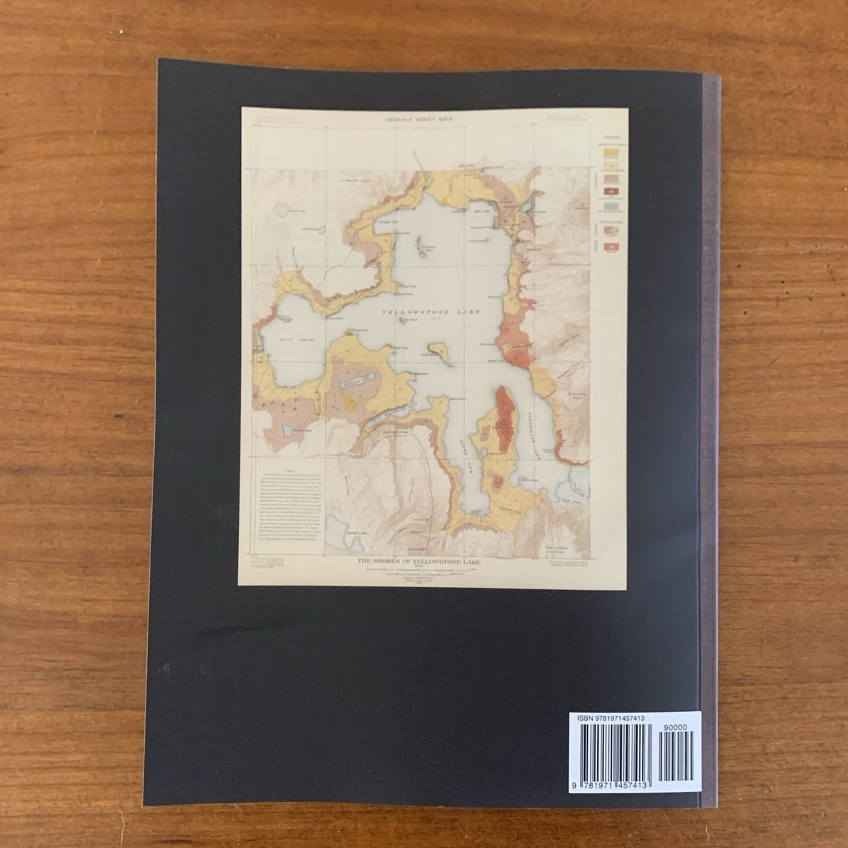
This full-color facsimile reproduces the Atlas to Accompany Monograph XXXII on the Geology of the Yellowstone National Park by Arnold Hague, published by the United States Geological Survey in Washington in 1904, with lithography by Julius Bien & Co. of New York. The atlas is the cartographic companion to Hague's landmark monograph on the geology of the world's first national park, representing the culmination of seven seasons of intensive fieldwork from 1883 to 1889 during which Hague and his team surveyed more than 3,000 square miles of Yellowstone. Still regarded by geologists as one of the most thorough studies of Yellowstone ever published, the atlas stands as a masterwork of American scientific cartography.
The atlas contains 27 sheets organized as paired topographic and geologic maps covering six survey quadrangles — Gallatin, Shoshone, Canyon, Lake, Crandall, and Ishawooa — followed by large-format maps of the entire Yellowstone National Park and the adjacent Yellowstone Forest Reserve in both topographic and geologic editions. Detailed maps then focus on the park's most significant geothermal and geological features: Mammoth Hot Springs and vicinity (topography, geology, and a detailed map of the travertine terraces), Norris Geyser Basin, Firehole Geyser Basin, Excelsior Geyser Basin, Upper Geyser Basin (geology and a central-portion topographic detail), Shoshone Geyser Basin, and the shores of Yellowstone Lake. An essential reference for geologists, Yellowstone historians, and collectors of nineteenth-century American scientific cartography.
8.5" x 11". Color. 36 pages.